High-Precision Road & Corridor Mapping
Project Lifecycle
From initial route planning to construction completion.
Our comprehensive solutions cover the entire infrastructure lifecycle, leveraging drone and LiDAR technology for continuous monitoring, design verification, and asset management across linear projects like roads and railways.
Core Services
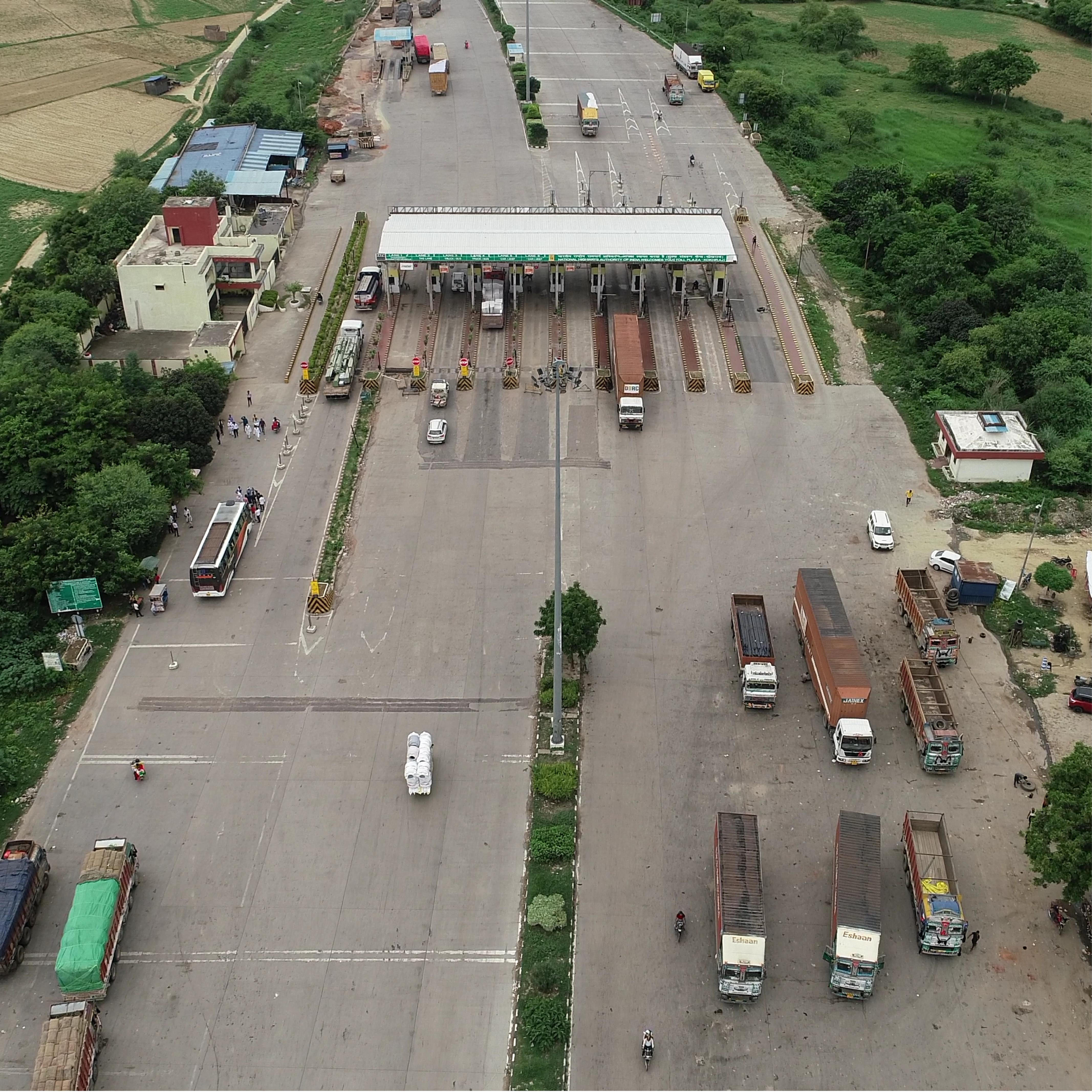
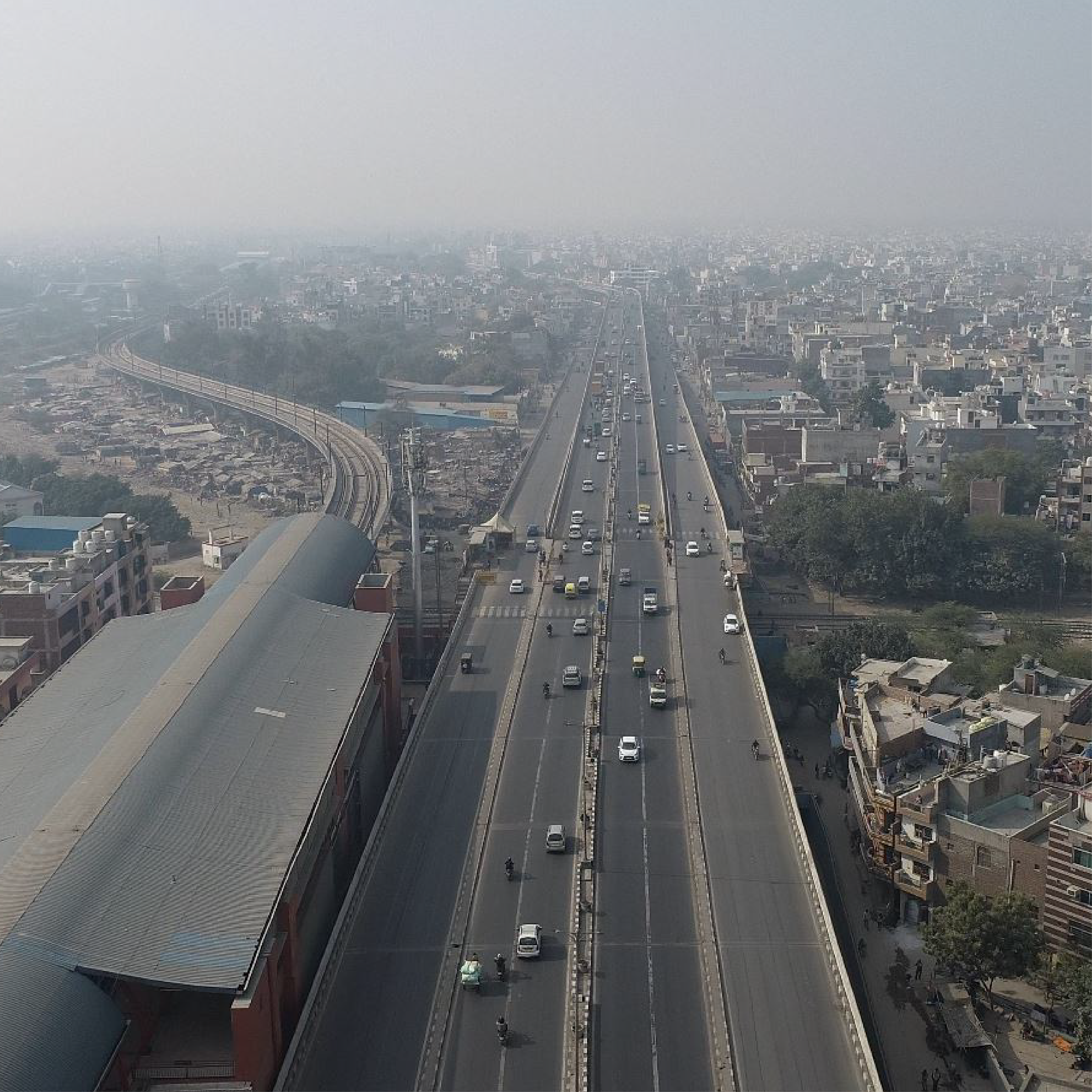
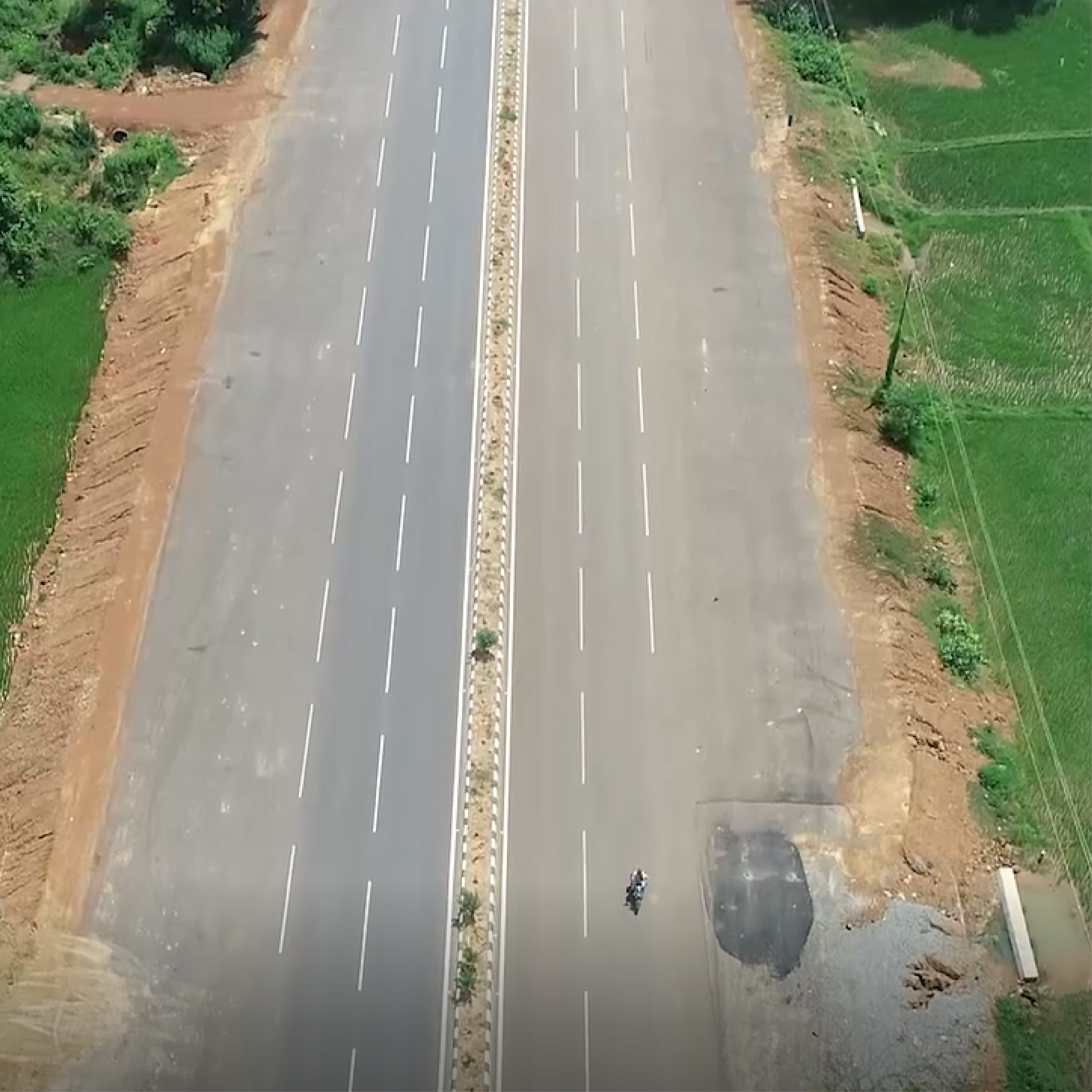
Road Survey & Alignment
High-resolution terrain data for optimal horizontal and vertical alignment design.
Railway Monitoring
Track inspection, ballast volume analysis, and encroachment detection for safety.
LiDAR Survey (Corridor)
Millimeter-accurate point cloud data for detailed corridor mapping and obstacle detection.
Construction Monitoring
Track progress, manage earthworks, and verify construction grades automatically.
Drone Telemetry Feed
Key Deliverables
Construction Monitoring
3D Progress Maps
Road Inventory
Asset Documentation
Asset Mapping
Utility Corridor Mapping
Pavement Inspection
Automated Defect Detection
Frequently Asked Questions
How does LiDAR technology improve highway route alignment and design accuracy?
Accurate route alignment is critical for cost-saving. Droid Survair uses high-precision Aerial LiDAR to capture the terrain's micro-topography. Unlike photogrammetry, LiDAR can see through grass and vegetation to provide a "True Ground" DTM, ensuring that road design, gradient analysis, and drainage planning are 100% accurate from the DPR stage.
Is Droid Survair's drone monitoring compliant with NHAI guidelines for highway projects?
Yes, absolutely. In 2026, NHAI requires monthly drone monitoring for all national highway projects. We provide NHAI-compliant data packages, including high-resolution orthomosaics, video logs of the entire stretch, and progress reports that integrate seamlessly into the Data Lake or Project Management software.
How accurate are drone-based Cut and Fill (Earthwork) volume calculations?
We provide 99% accurate earthwork quantity estimations. By capturing millions of data points via drone sensors, we create highly detailed 3D models of the terrain before and after excavation. This ensures transparent billing, precise inventory management of materials, and faster dispute resolution for contractors.
Can drones inspect bridges and highway structures without blocking traffic?
Yes. Our high-zoom and thermal drones can inspect bridge girders, piers, and culverts from a distance. This eliminates the need for expensive snooper trucks or lane closures (traffic blocks), ensuring 100% safety and identifying structural cracks or corrosion with sub-millimeter detail.
What engineering deliverables are provided for highway design and construction?
Our comprehensive highway engineering data includes: High-Accuracy Contour Maps (0.25m or 0.5m), Digital Terrain Models (DTM) & Digital Surface Models (DSM), Longitudinal Sections (L-sections) & Cross-sections, and CAD-ready files (.DWG/.DXF) and GIS Shapefiles (.SHP).
Build, Monitor, and Maintain with Precision.
Optimize your infrastructure projects from start to finish.
Start Infrastructure Project