Why Droid Survair?
One to One Service
Dedicated project support.
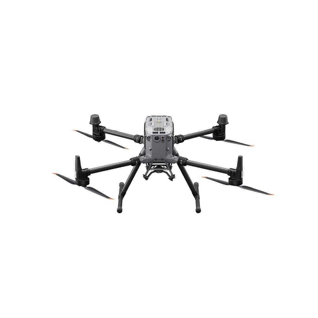
Advance Equipment
Latest industrial-grade drones.
10x Faster Data
Rapid deployment workflows.
99% Accuracy
Achieving survey-grade precision.
0Satisfied Customers
0Number Of Flights
0Projects Complete
About Company
Droid Survair
At our company, we understand the importance of accurate and detailed mapping in various industries.
- DGCA Certified Pilots
- End-to-End Solutions
- Pan India Presence
Our Services


Our Clients


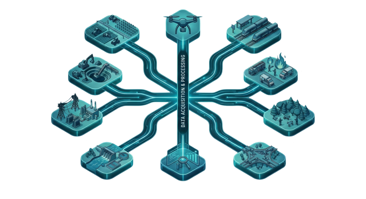
Sectors We Serve
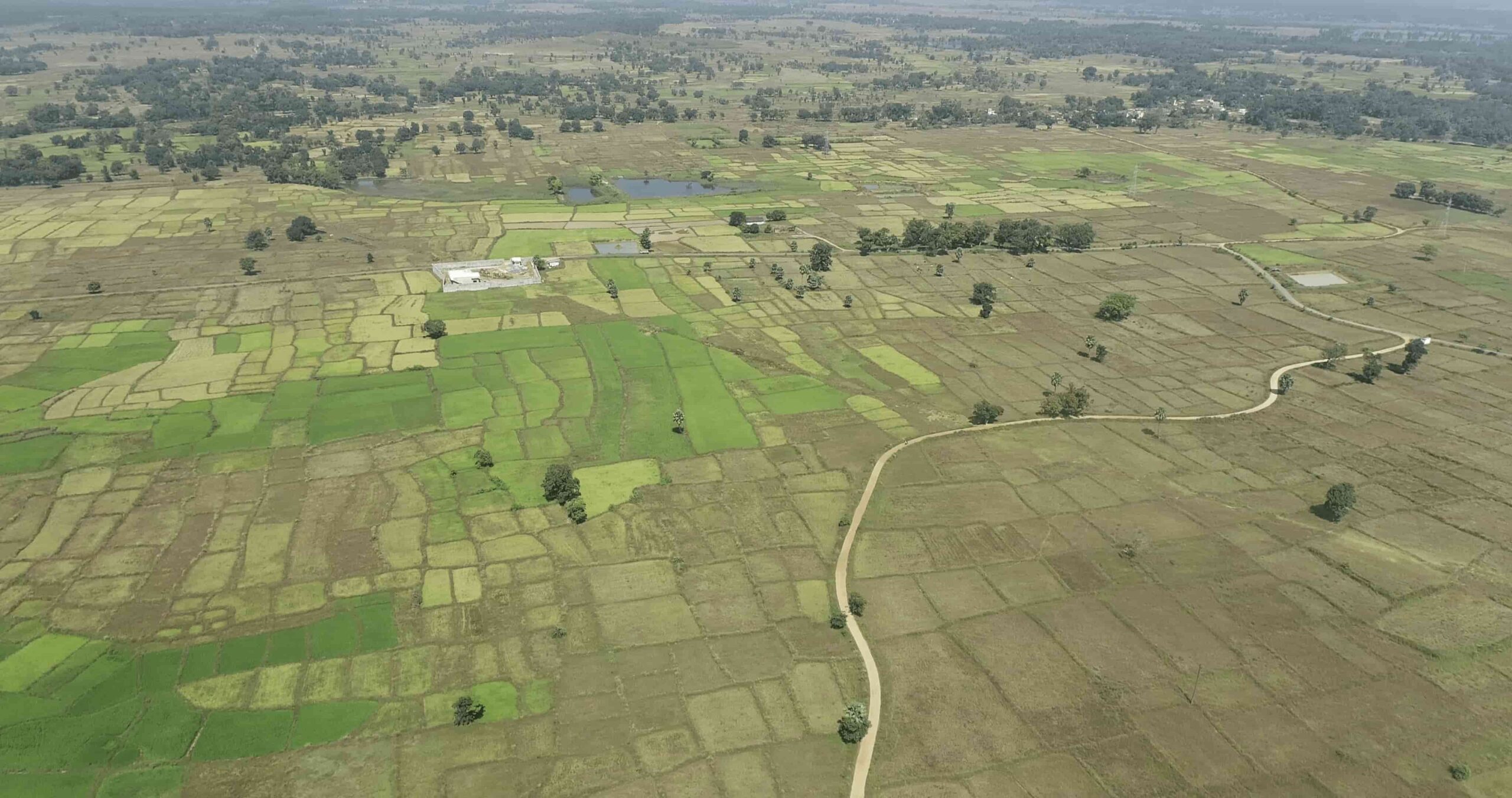
Agriculture
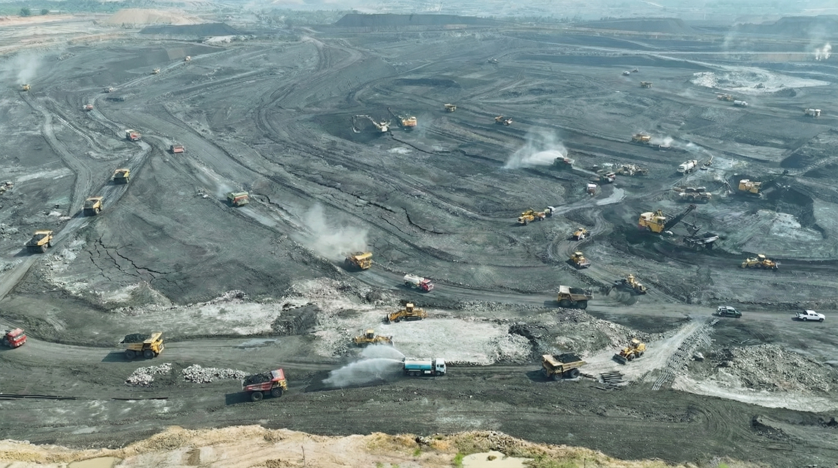
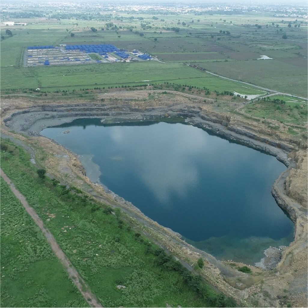
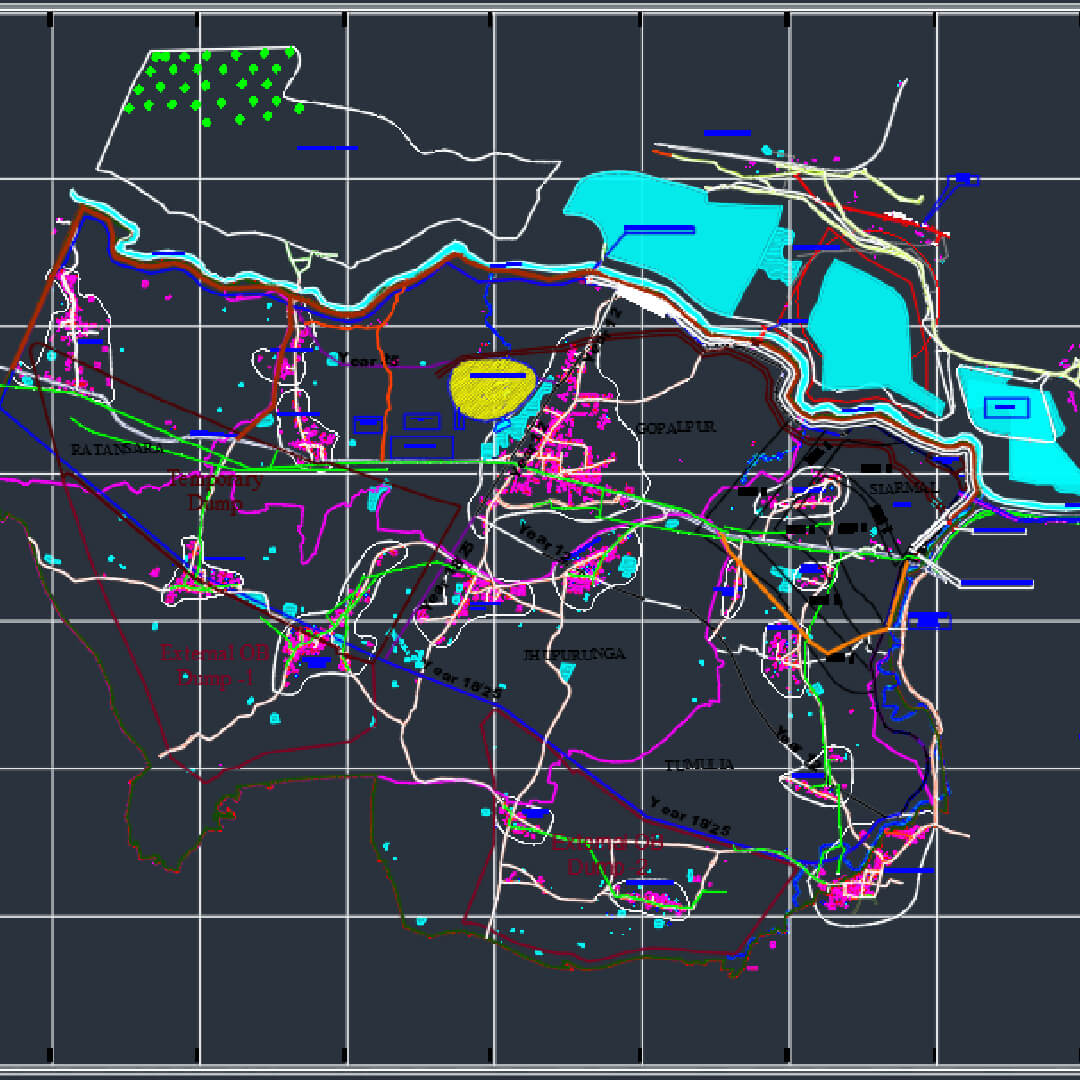
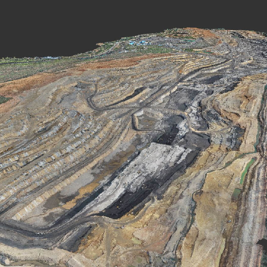
Mining
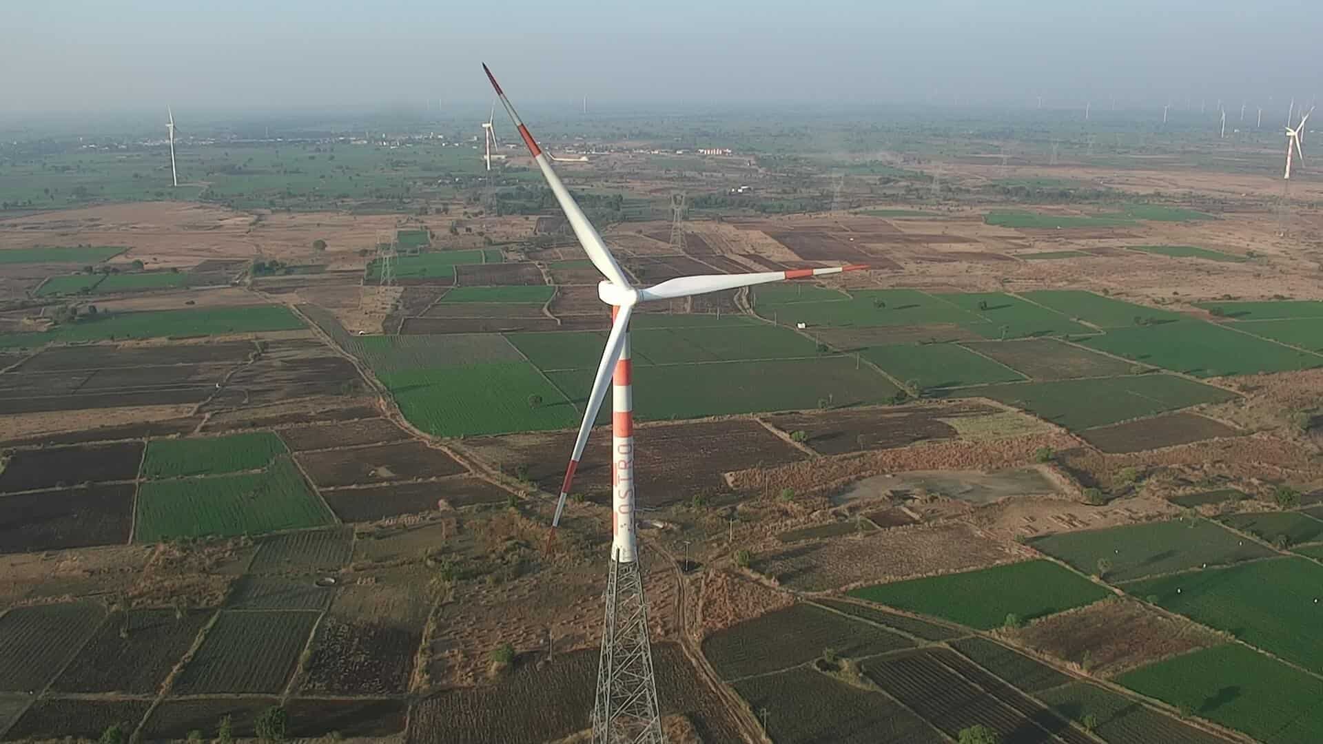
Power & Utility
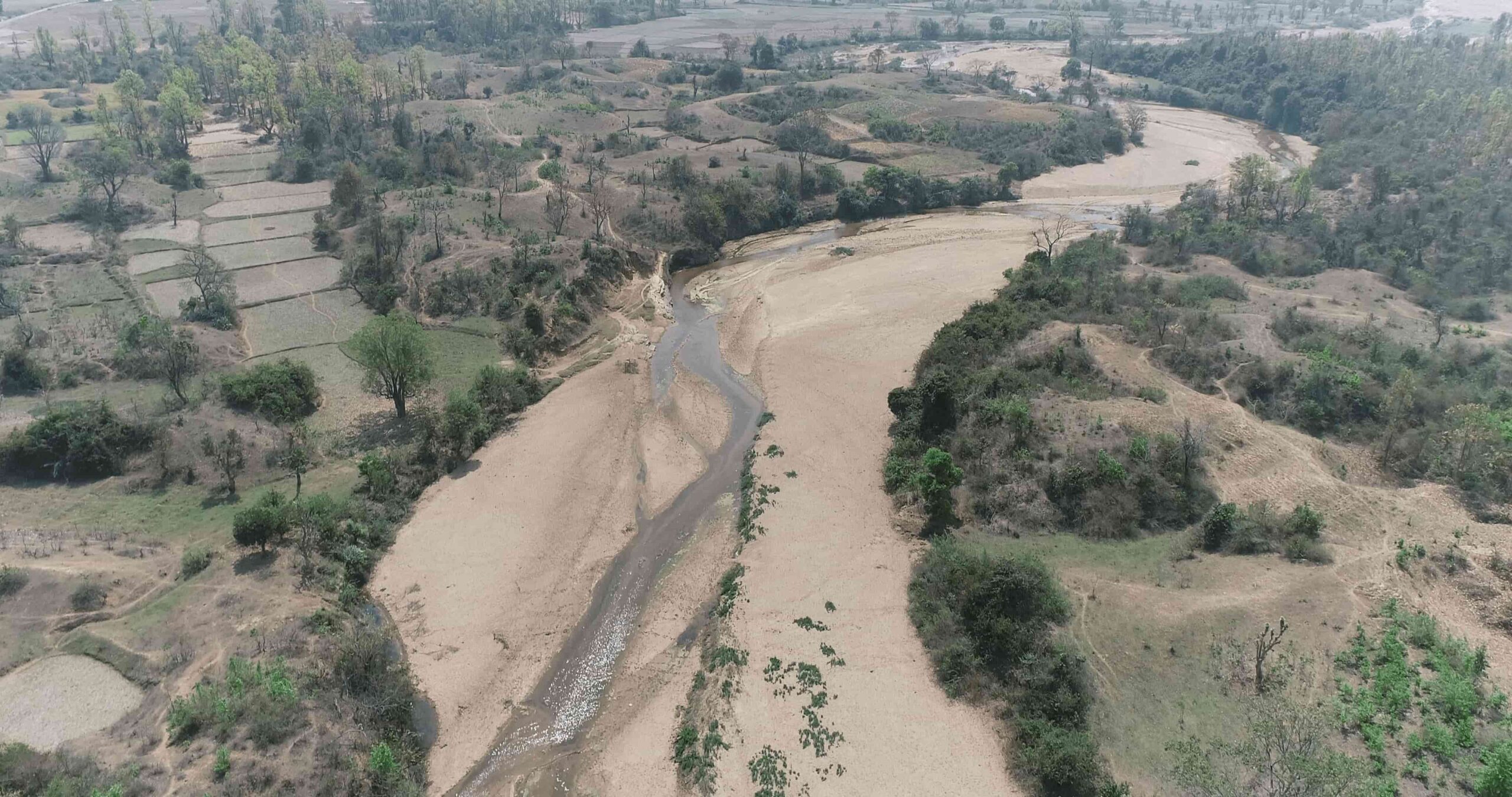
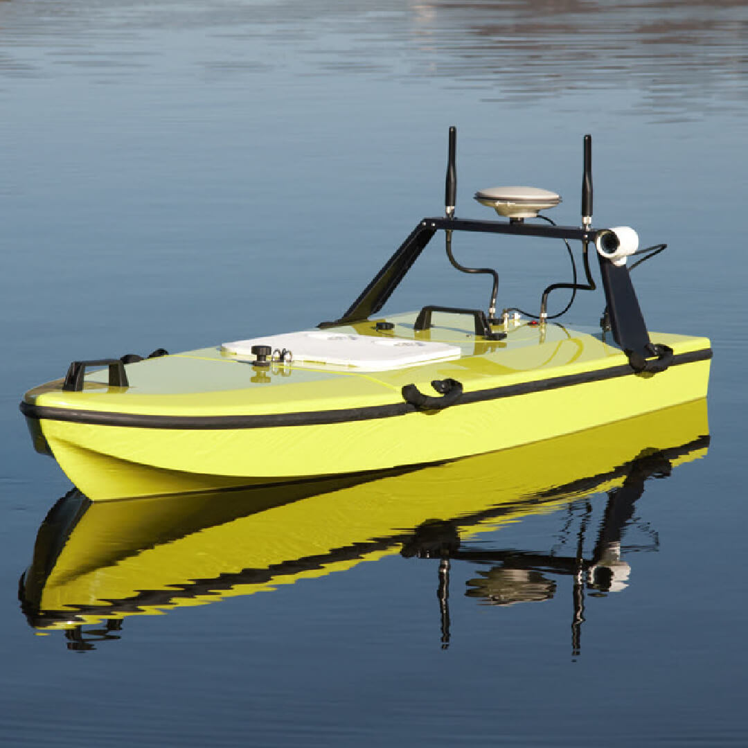
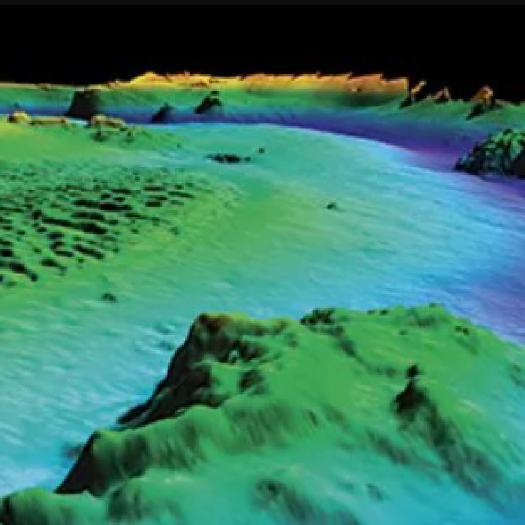
Hydrology

Roads & Highways

Forest & Wildlife

Railways & Metros

Emergency Response
Advanced Sensors
Key Features
Application
Stay Connected
Ready to elevate your project with aerial intelligence? Reach out to us for a consultation.
Office
Nagpur, Maharashtra
Phone
+91 88888 53244
info@droidsurvair.com
×![]()