Railways & Metros
Sector Overview
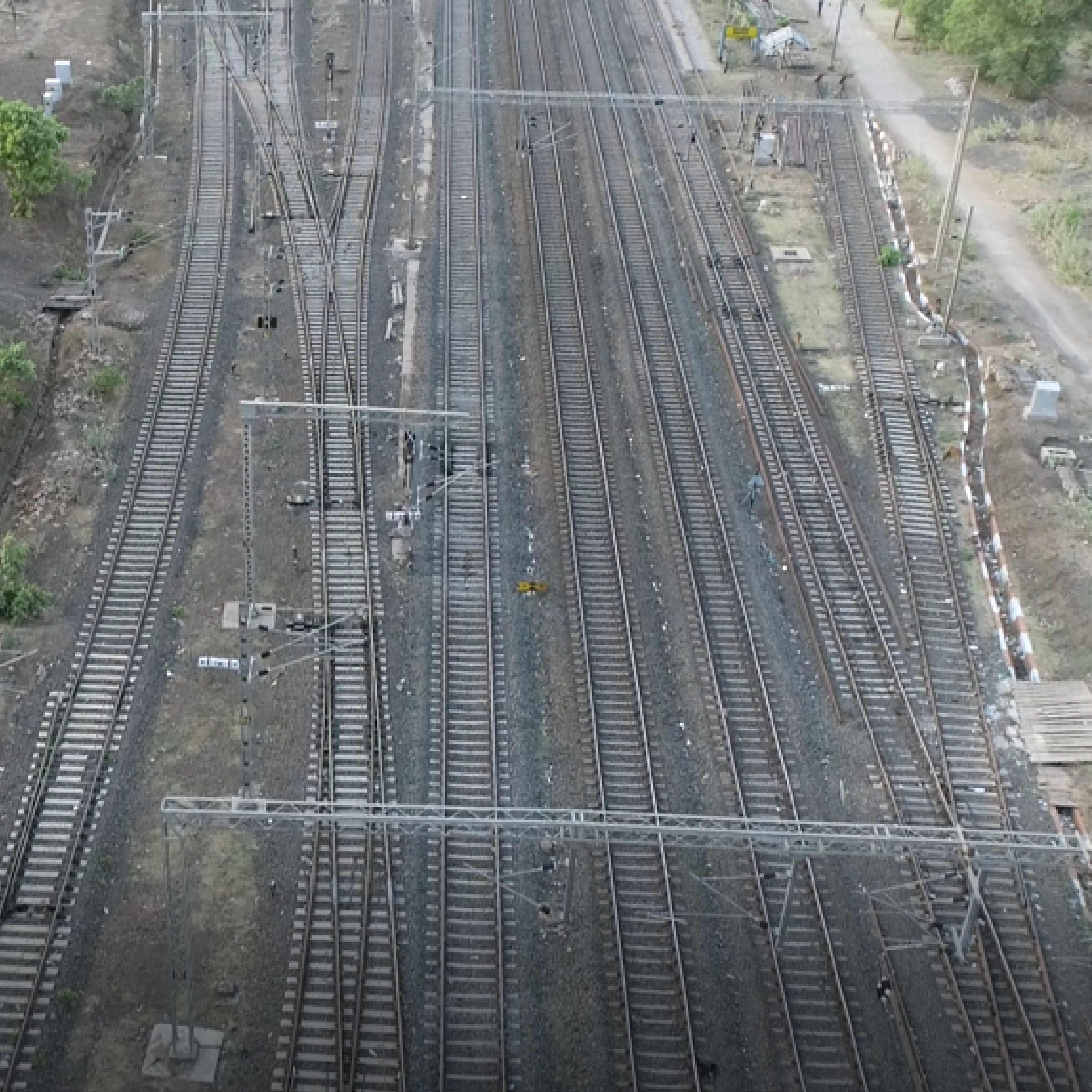
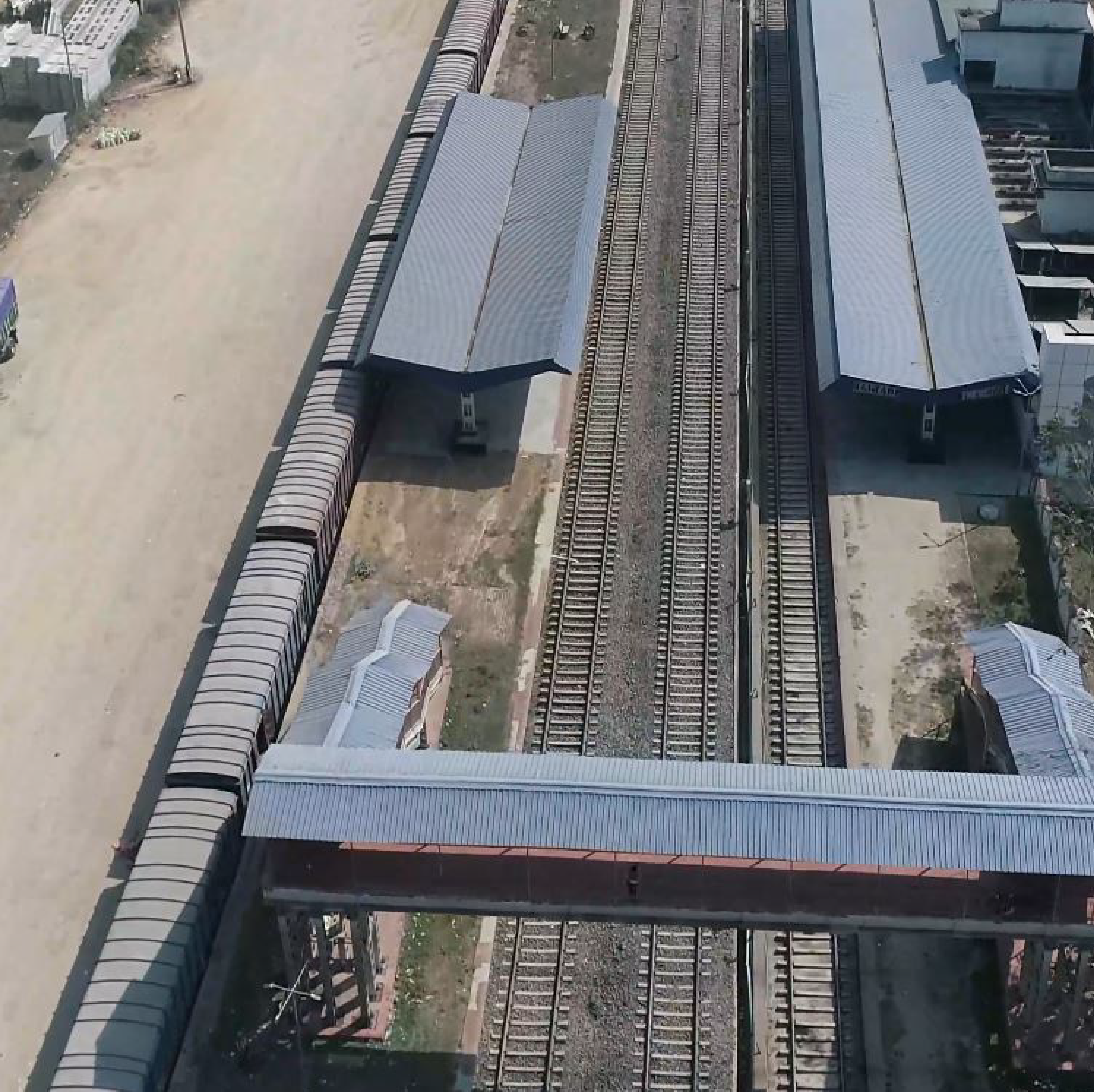
The uses of UAV in railways incorporate planning shape guides of the area where new rail lines are proposed, 3D models of stations for perception and 3D models of the landscape to draw exact plans. GIS planned information can be utilized to compute the length of track laid and make 3D models to assist with projecting directors map likely dangers to development. UAV can likewise be utilized for intermittent evaluation of resources, investigate hard-to-arrive at regions, for example, scaffolds and passages, screen electrical works along the length of rail line tracks as well as review them for erosion and breaks or cracks. UAV can be utilized as first responders in the event of regular disasters by rapidly surveying harms in rail line organization and giving essential bits of knowledge to crisis work force.
Route Alignment (FLS)
Final Location Survey and precise topographic mapping for proposed railway tracks and metro lines.
OHE Inspection
LiDAR-based 3D mapping of Overhead Equipment (OHE) to accurately measure the height and sag of power lines and poles.
Encroachment Analysis
High-resolution aerial tracking to identify any encroachments on railway property and Right of Way (ROW).
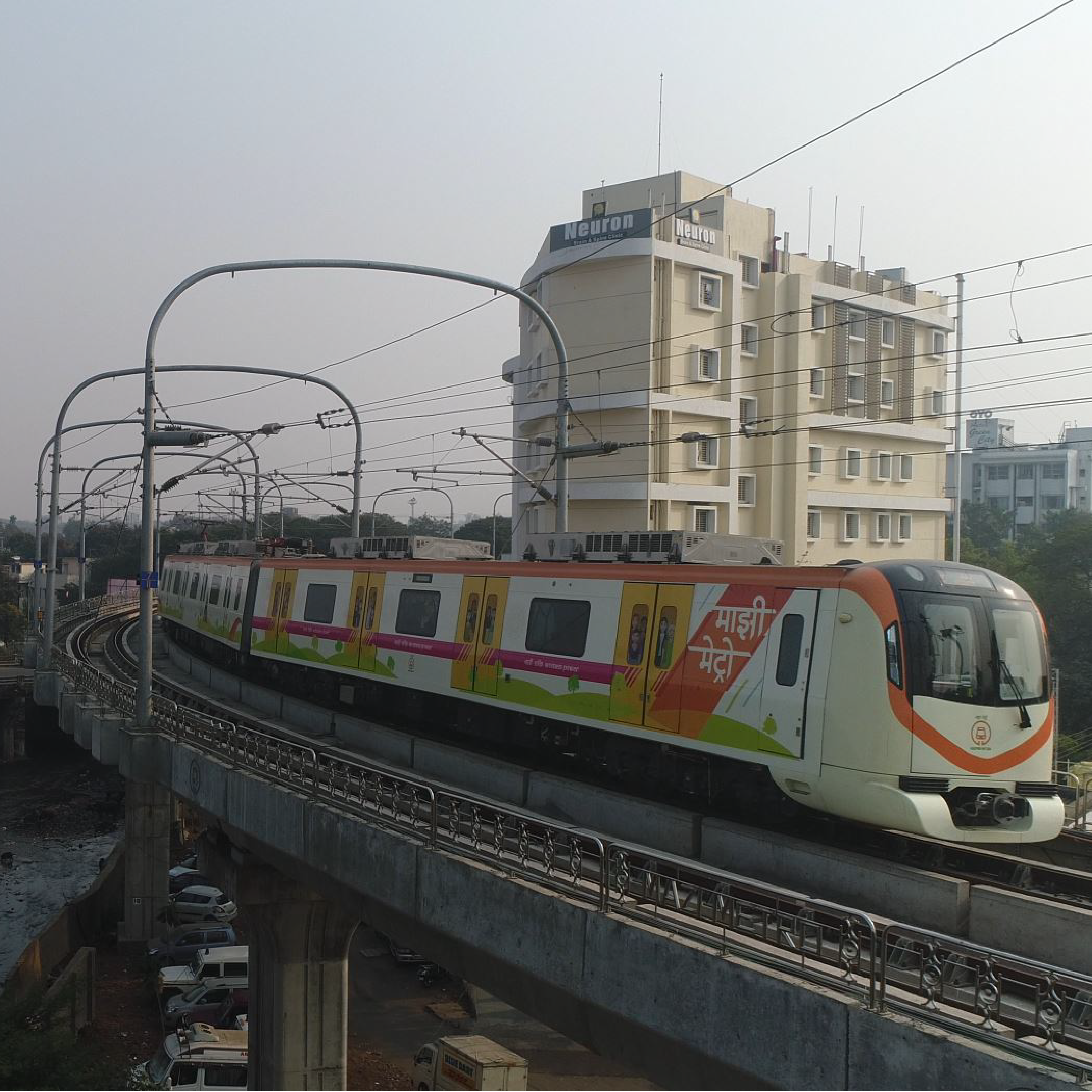
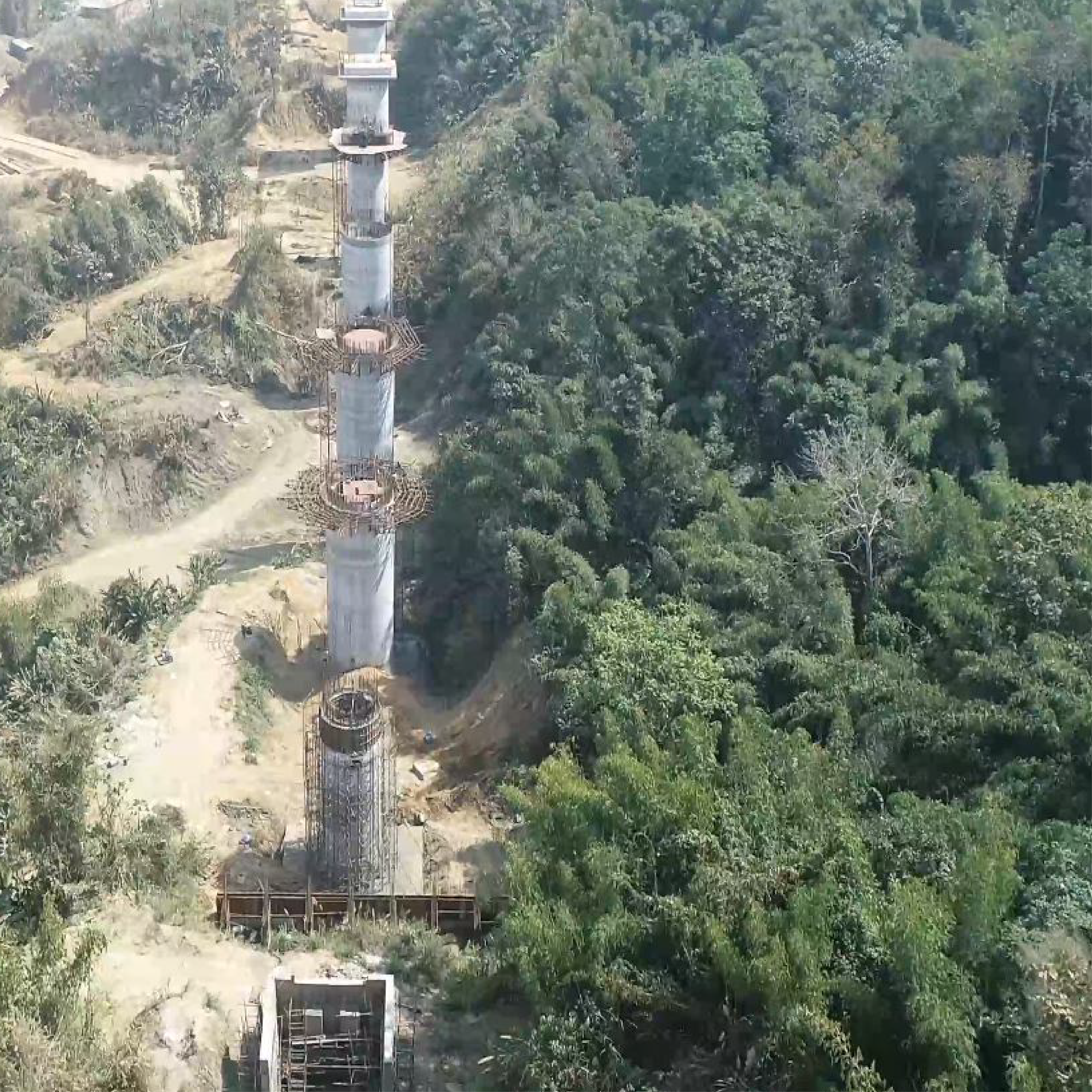
Construction Monitoring
Regular drone monitoring and volume calculations (Cut/Fill) for metro pillars, stations, and track laying processes.
Drone Survey In Action
Live Corridor Mapping & Precision Tracking
Our Deliverables
Actionable Engineering Data for Rail Infrastructure
Project Lifecycle Support
Pre-Feasibility
Initial route planning
DPR Preparation
Detailed engineering surveys
Execution
Earthwork & progress tracking
Asset Management
Maintenance & OHE inspection
Key Applications
- High-Speed Rail Corridor Mapping
- Metro Station Area Planning
- Yard Digitization & Track Layouts
- Bridge & Tunnel Inspections
- Vegetation Encroachment Analysis
- Utility & Pipeline Relocation Mapping
Frequently Asked Questions
How accurate is drone-based LiDAR for railway track mapping?
Droid Survair provides centimeter-level accuracy (1-2 cm) for railway mapping. Using high-end Aerial LiDAR, we generate dense 3D point clouds that capture the exact track alignment, sleepers, and ballast details. This high-precision data is essential for both new line planning and existing track maintenance.
Can drones monitor the progress of mega Metro Rail projects?
Yes. We provide periodic Progress Monitoring services. By flying drones at set intervals, we compare the actual site progress with the original CAD/BIM designs. This helps project managers identify delays, manage resources efficiently, and provide visual evidence of construction milestones.
How does Droid Survair detect illegal encroachments on railway land?
Using high-resolution Orthomosaics and DGPS-rectified data, we create an accurate map of the railway's Right-of-Way (RoW). By overlaying lease boundary records on these maps, we can identify illegal structures or encroachments with centimeter-level precision, providing legal-grade evidence for authorities.
What deliverables are provided for railway engineering and design?
Our standard engineering deliverables include: High-Accuracy Contour Maps, Longitudinal Sections (L-sections) & Cross-sections, 3D Point Clouds & Digital Terrain Models (DTM), and AutoCAD (.DWG) and GIS compatible files.
Are drones effective for inspecting railway bridges and tall structures?
Absolutely. Drones equipped with high-zoom and thermal cameras can inspect bridge piers, girders, and overhead electrification (OHE) systems without the need for manual climbing or track blocks. This ensures 100% safety and identifies structural cracks or rust that might be missed during manual inspections.
Modernize Your Rail Network
Get accurate terrain data and comprehensive survey reports.
Request Survey Quote