High-Precision LiDAR Mapping
Advanced Aerial & Terrestrial Laser Scanning Solutions
LiDAR Survey Services
LiDAR (Light Detection and Ranging) is a modern surveying technology. After Post-processing the data acquired by the LiDAR is used to know the precise elevation and geospatial location of the features captured by it. LiDAR is generally of three types Aerial LiDAR, Terrestrial LiDAR, and Mobile LiDAR. For large-scale mapping and data capturing, we use Aerial LiDAR mounted on a survey-grade drone.
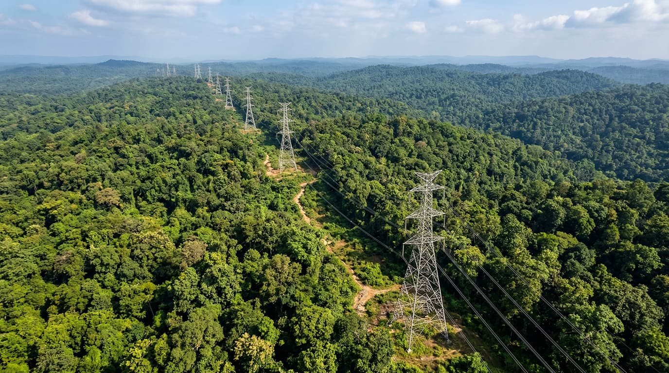
Canopy Penetration
Captures ground data effectively even under dense vegetation, revealing the terrain beneath.
High Accuracy
Delivers millimeter-level precision for creating accurate elevation models and topographical maps.
3D Point Cloud
Generates detailed digital twins of assets, enabling comprehensive 3D visualization and analysis.
Rapid Acquisition
Covers large corridor areas significantly faster than traditional ground-based surveying methods.
Data Samples
Visualizing complex environments with millions of points.
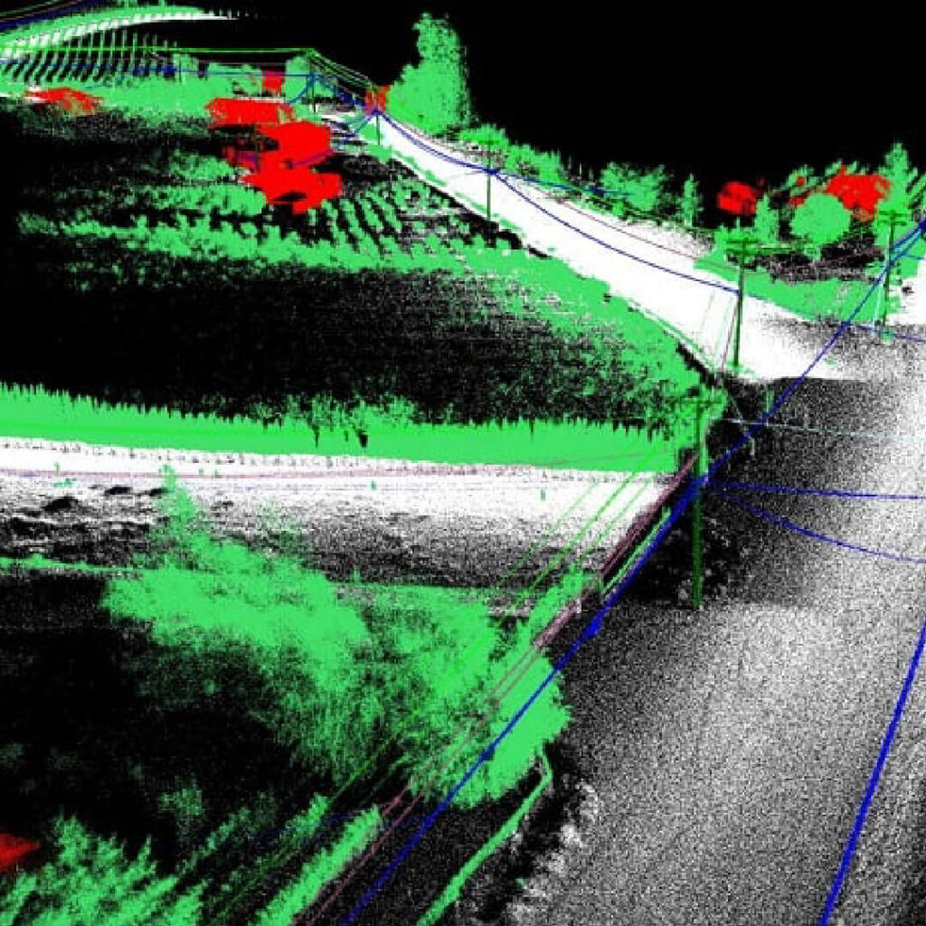
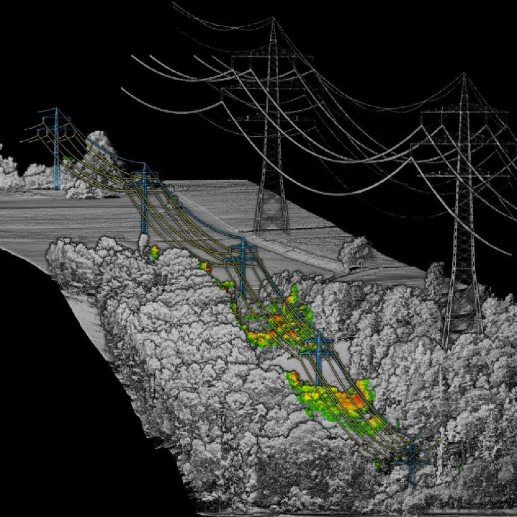
Classification Legend
Experience Our Data Live
Interact with a high-density Point Cloud of our Surat Railway Project directly in your browser. No software installation required.
Launch Live 3D Railway ModelApplication Scenarios
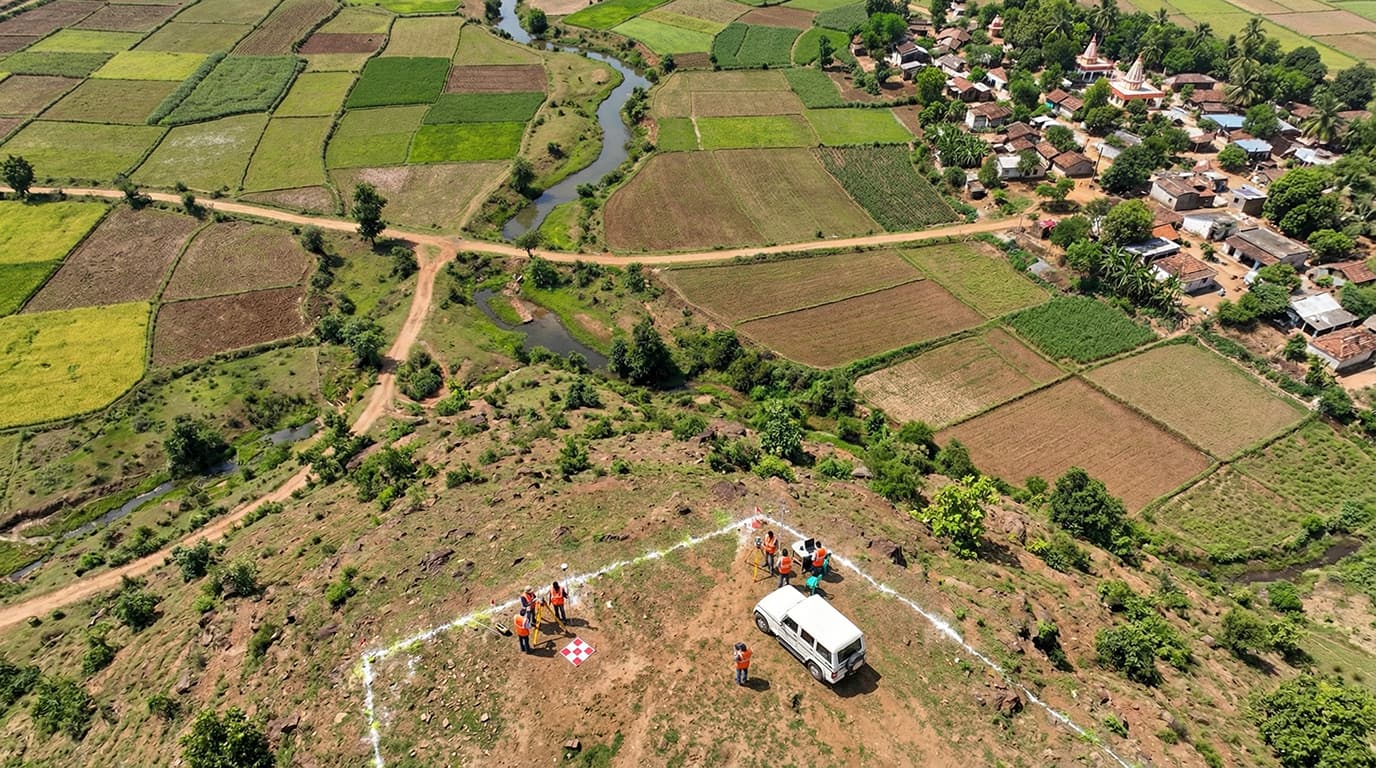
In coordination with advanced flight platforms and sensors, LiDAR can be applied to various complex scenarios.


Frequently Asked Questions
Ready for High-Precision Data?
Get millimeter-level accuracy for your next project.
Get a Quote for LiDAR Survey