Forest & Wildlife
Advanced Drone & LiDAR Innovation
Sector Overview
The forest industry has seen significant jumps in innovation that have hence helped efficiency and work processes. Difficulties, for example, street planning, stock administration, estimating for harvests, exposed earth models, floodplain planning, checking regrowth, adherence to guidelines and arranging extension zones are a couple of the areas that drone and Lidar innovation can help with smoothing out.
Many have acknowledged significant advantages from the reception and execution of ongoing upgrades in UAV and sensor innovation including expanded security to laborers and lower protection costs among other functional efficiencies. Organizations that installed and incorporate state of the art innovation are situated well to increment benefit and develop their activities significantly. Specifically, drone coordination can lessen helicopter and airplane time and accordingly fuel cost, decidedly influencing the main concern.
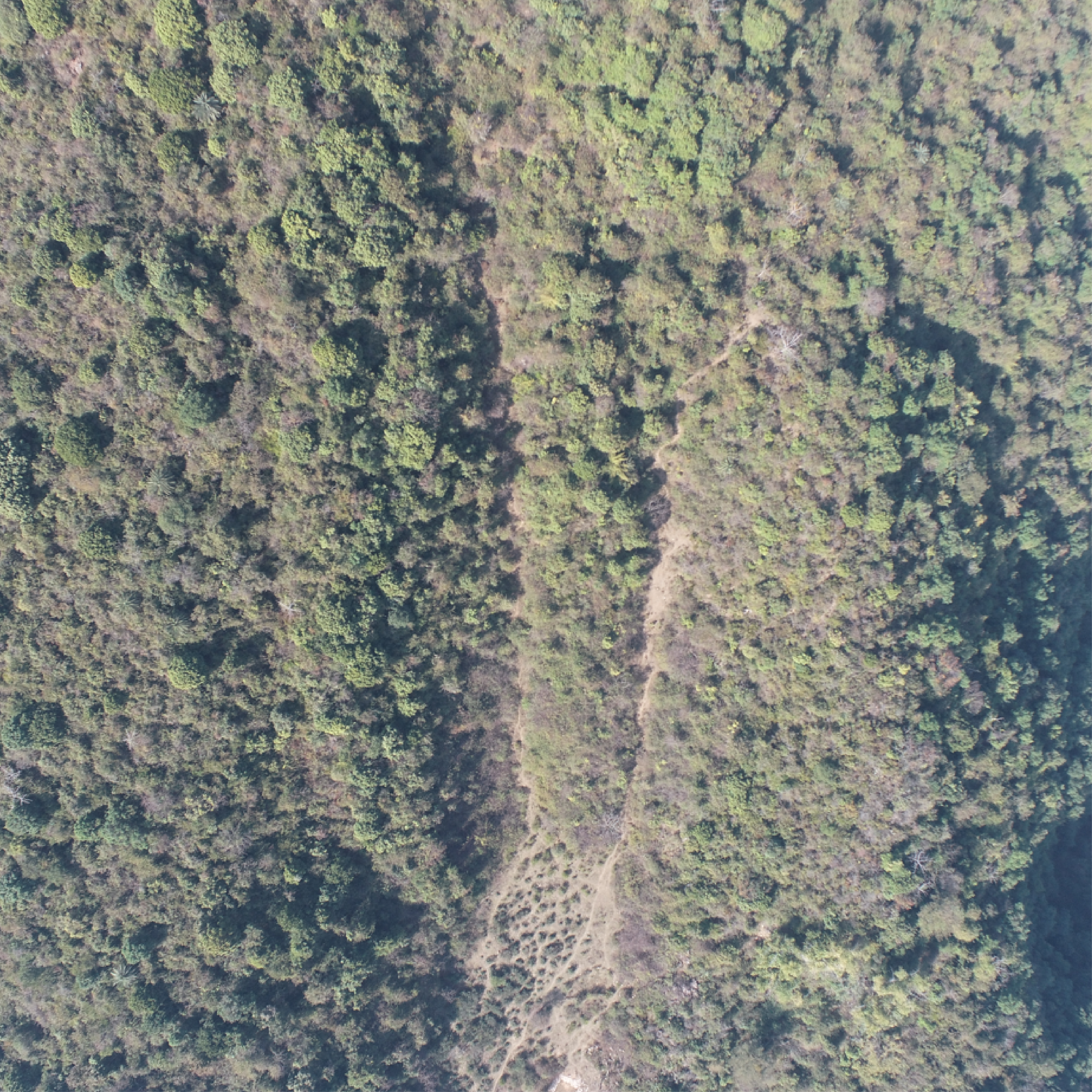
Plantation Planning
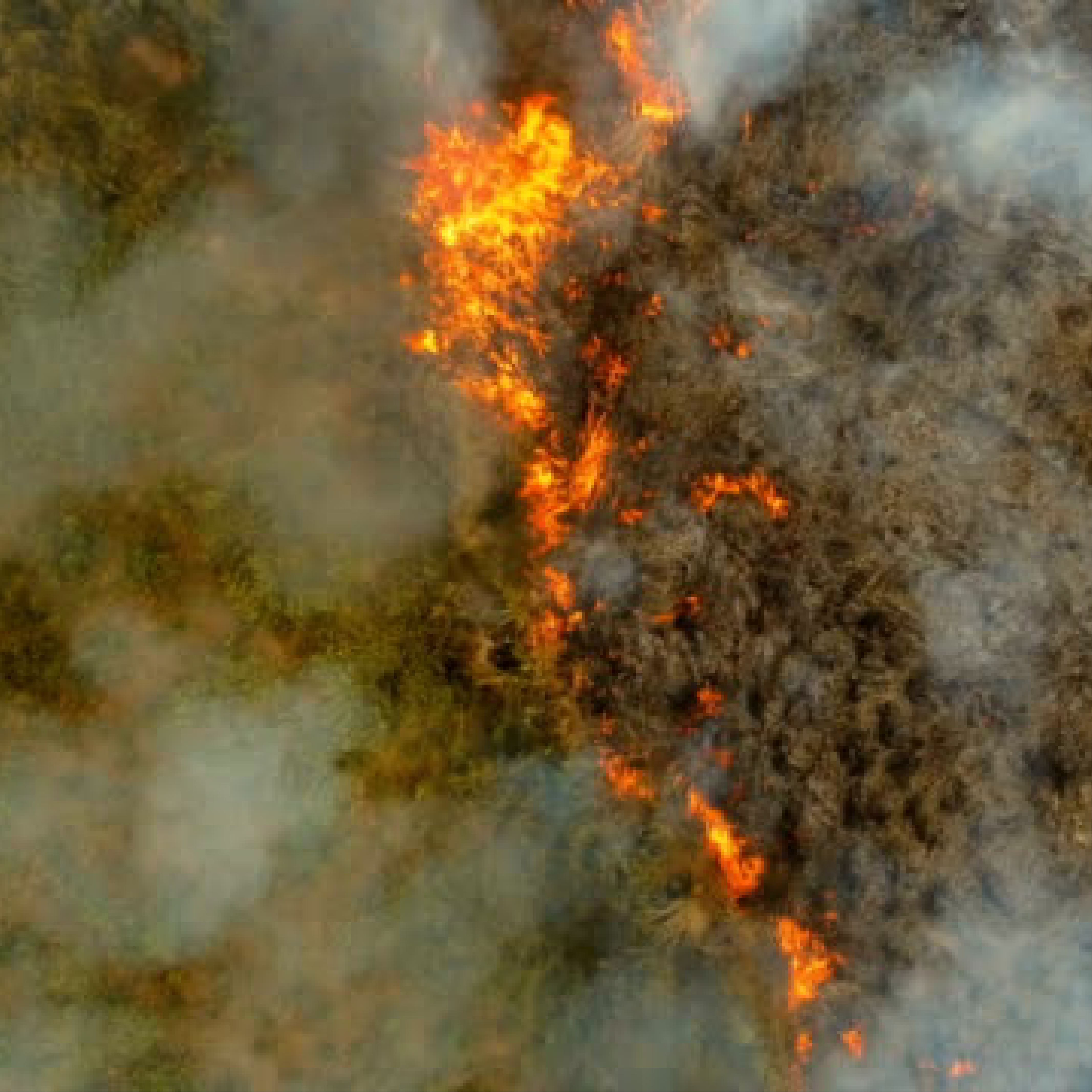
Forest Fire Assessment
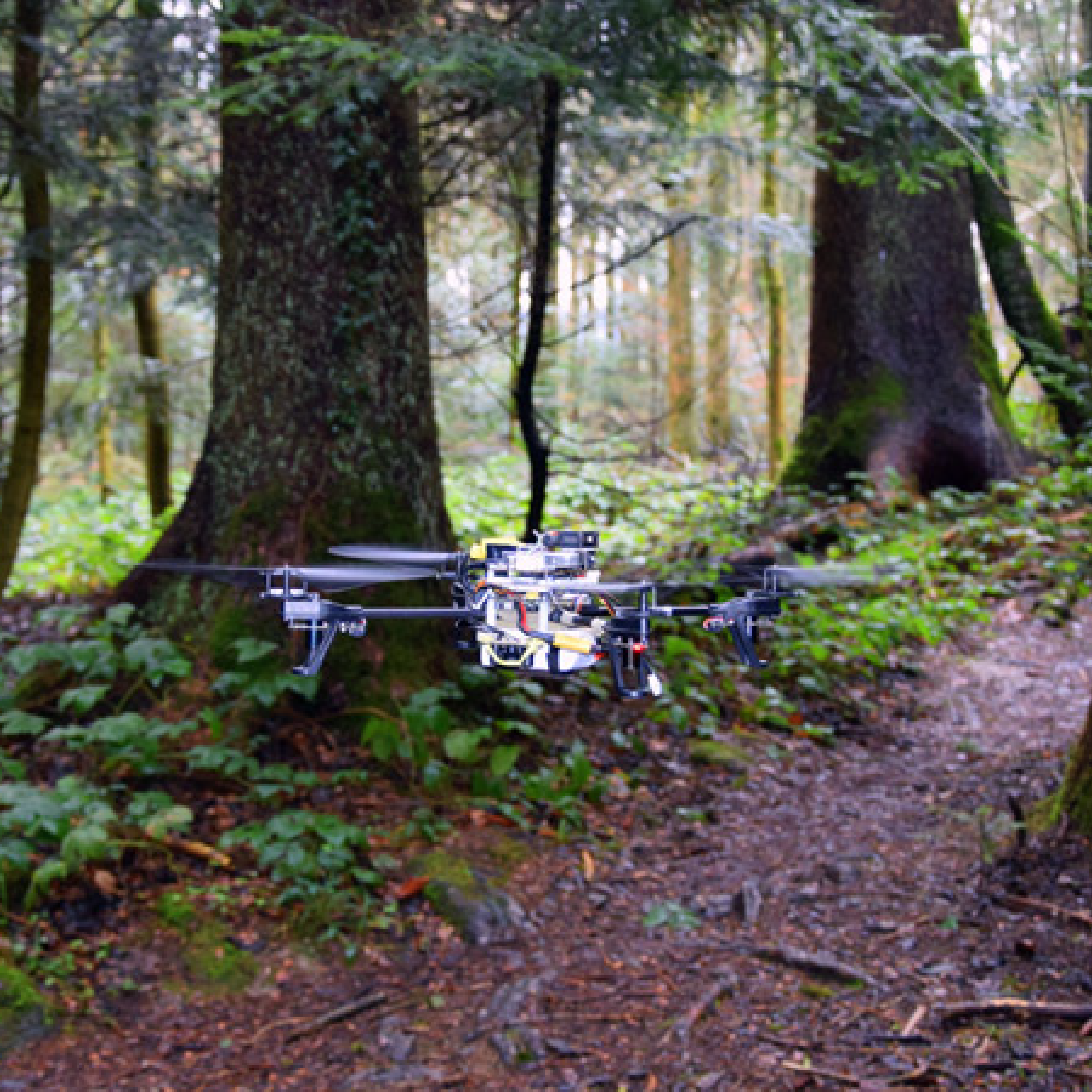
Search And Rescue
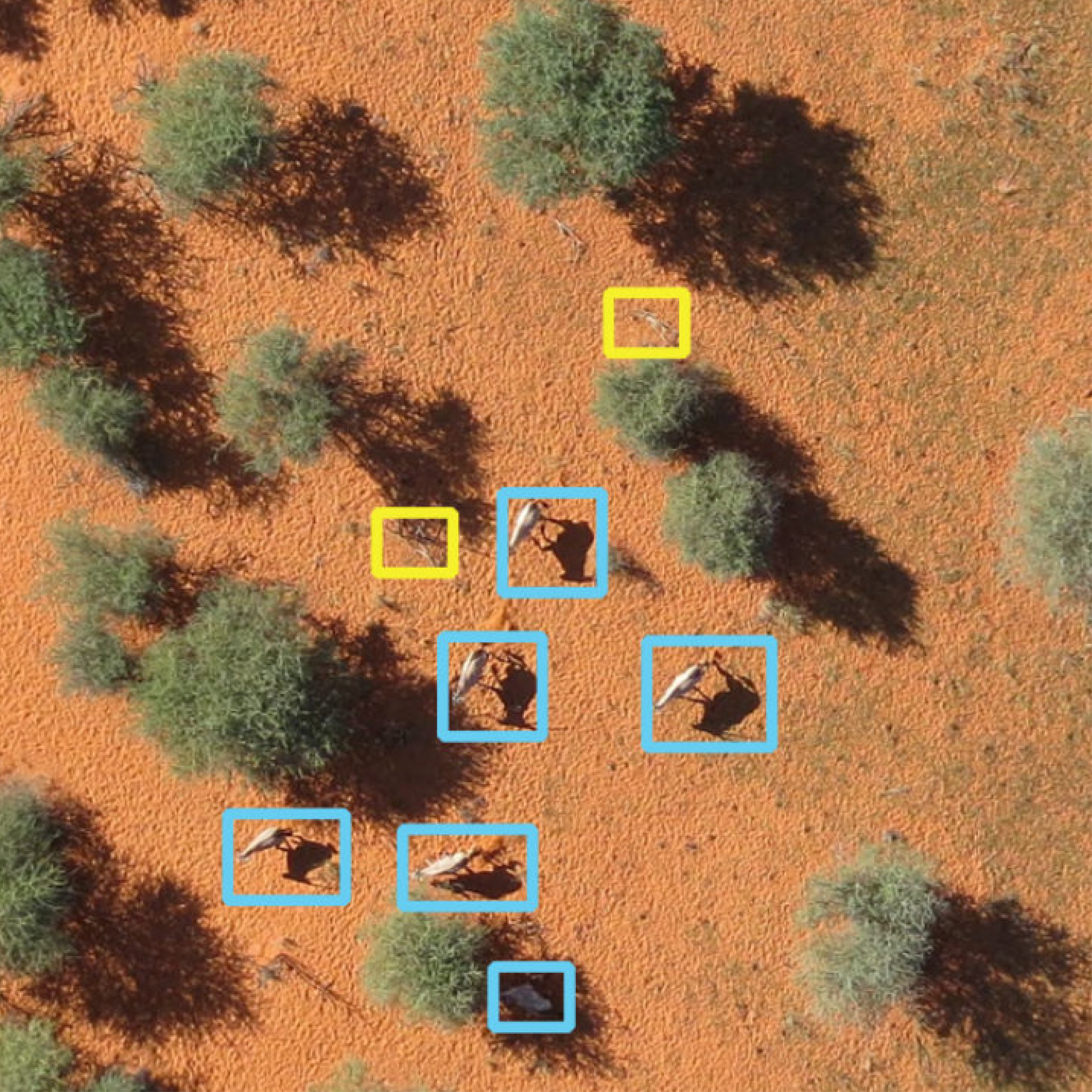
Animal Counting
Technology In Action
See how our drone solutions monitor and protect wildlife environments.
Frequently Asked Questions
How do drones help in accurate Wildlife Census and animal counting?
Traditional manual counting is often inaccurate and risky. Droid Survair uses drones equipped with AI-powered Thermal (IR) sensors that can detect animal heat signatures through thick foliage. This allows for a much more accurate, non-invasive, and faster wildlife census without disturbing the natural habitat.
Can LiDAR technology map the ground surface under dense forest canopy?
Yes. While standard cameras only see the top of trees, our Aerial LiDAR sensors send laser pulses that penetrate the dense canopy to reach the ground. This creates highly accurate Digital Terrain Models (DTM), helping foresters understand the topography, water flow, and biomass volume under the forest cover.
How does Droid Survair assist in early Forest Fire detection and management?
We deploy drones with high-sensitivity thermal sensors that can detect "hotspots" or smoke plumes long before they turn into uncontrollable fires. Real-time GPS coordinates of these spots are sent to ground teams for immediate action, significantly reducing forest loss.
What is the role of drones in preventing poaching and illegal logging?
Our long-endurance drones act as "Flying Rangers." Equipped with night vision and long-range zoom cameras, they can patrol large, inaccessible areas of the forest at night. Any suspicious human activity or illegal logging is flagged in real-time to the command center to prevent wildlife crimes.
Can drones assist in Carbon Credit verification and Forest Health analysis?
Absolutely. In 2026, carbon sequestration is vital. We use multispectral sensors (NDVI) to analyze Forest Health and Biomass density. This precise data is used by environmental agencies to calculate carbon credits and monitor the success of afforestation projects with survey-grade evidence.
Protect & Monitor Habitats
Deploy advanced aerial mapping and thermal scanning for your forestry projects.
Consult Our Experts