UAV Data Processing
High-Resolution Mapping & 3D Modeling Solutions
Drone Survey Mapping
Using survey-grade drones we provide high-resolution orthomosaics and detailed 3D models of the area and with the help of this, we create high-accuracy cadastral maps of even complex or difficult-to-access environments.
With the help of drones, we do an aerial inspection of areas that are usually not accessible or dangerous for a person to have a look at. Places like a chimney, cell towers, forest fires, etc. with drones inspectors can collect visual data without exposing themselves to potential harm.
Key Deliverables
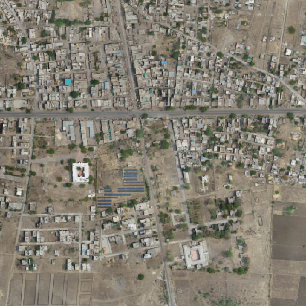
Orthomosaic
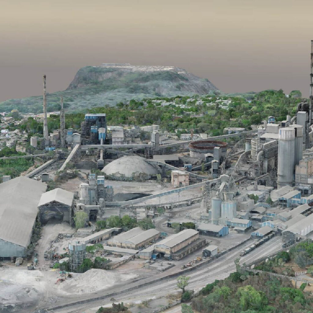
3D Model
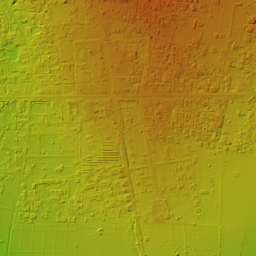
Digital Terrain Model
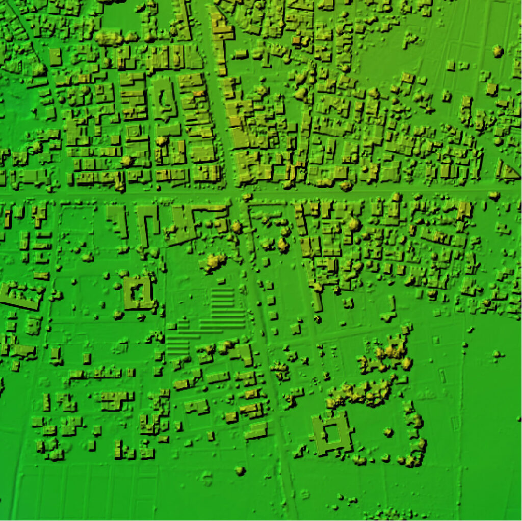
Digital Surface Model
Our Features
Advance Equipment
Our surveying equipments are high-end and equipped with high resolution sensors for superior data quality. We use both DJI and Custom made drones for surveying.
5x Faster Delivery
We have team of GIS experts working around clock to process and analyse the Drone survey data to deliver on or before time.
10x Faster Data Acquisition
With our group of skilled drone pilots and with survey grade drones we gather aerial information 10x quicker than our competitors.
99% Accurate Measurement
We deliver results with up to 99% of accuracy. We use Machine Learning to process data for better accuracy in yield estimation, volumetric measurements, etc.
Frequently Asked Questions
Need Data Processing Services?
Get precise, actionable insights from your aerial data.
Contact Us Today