Precision DGPS Survey
Establishing Accurate Ground Control Points & Benchmarks
About The Technology
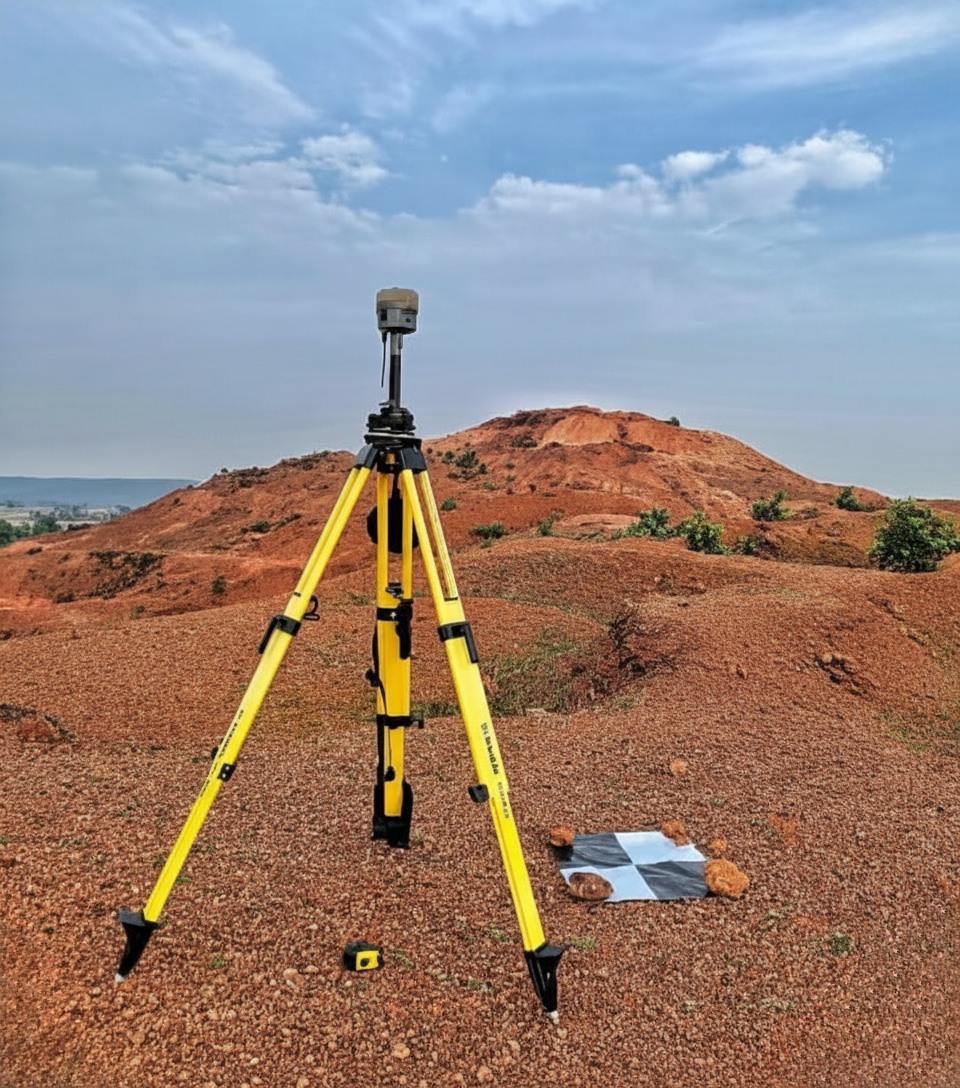
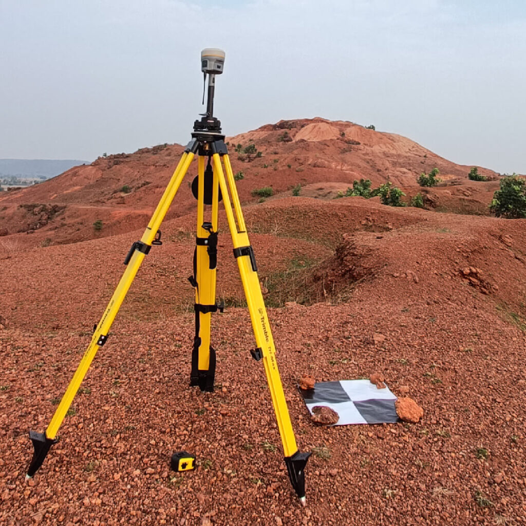
We at Droid Survair use the latest and best model of DGPS available in the market. Differential Global Positioning System (DGPS) survey is primarily used to fix Ground Control Points (GCPs) and Temporary Bench Marks (TBMs) for precise location referencing. Unlike standard GPS which offers 3-5m accuracy, our DGPS solutions deliver centimeter-level precision essential for high-quality engineering projects.
Advanced Equipment
Equipped with dual-frequency receivers capable of tracking multiple satellite constellations for robust data collection.
99% Accuracy
Achieve sub-centimeter accuracy for boundary marking and control points, far superior to traditional handheld GPS.
10x Faster Acquisition
Rapid RTK (Real-Time Kinematic) fixing allows us to cover large areas and establish multiple points in record time.
5x Faster Delivery
Streamlined post-processing workflows ensure you get your final reports and drawings significantly faster than industry standards.
Why Choose DGPS?
A technical comparison between Standard GPS and our DGPS Solution.
| Feature | Standard GPS | Droid Survair DGPS |
|---|---|---|
| Accuracy | 3 - 5 Meters | 1 - 2 Centimeters |
| Error Correction | None / Basic SBAS | Differential Correction (Base Station) |
| Application | Navigation, General Tracking | Surveying, Engineering, Boundary Marking |
| Vertical Precision | Low (High Error) | High Precision (Essential for Levels) |
Our Technology
State-of-the-Art Receivers
Our inventory includes industry-leading GNSS receivers that operate in the most challenging environments.
- Multi-Constellation Support (GPS, GLONASS, Galileo)
- Integrated UHF Radio for RTK
- All-Day Battery Life for Remote Sites
Our Workflow
Signal Acquisition
Connecting to satellites
GCP Marking
Establishing points on ground
Post-Processing
Differential correction of data
Final Report
Deliverable generation
Standard Deliverables
High-quality outputs generated from our DGPS Surveys.
DGPS Points List
Detailed coordinate list of established Control Points & Benchmarks.
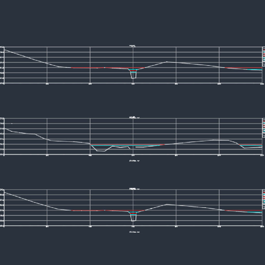
Cross Sections
Accurate cross-sectional profiles for engineering analysis.
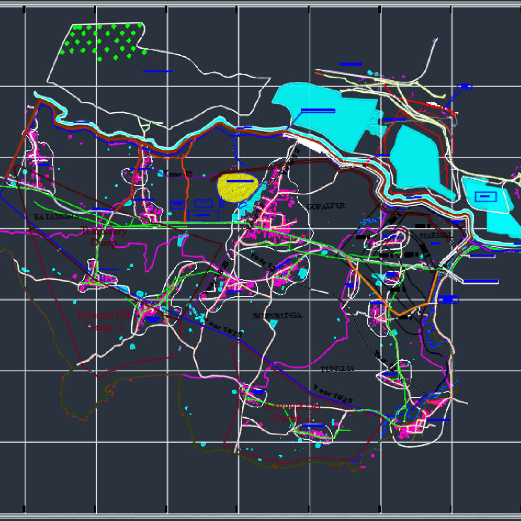
Topographical Maps
Contour maps and layout plans integrated with DGPS data.
Applications
- Road & Highway Surveys
- Boundary Demarcation
- Ground Control Points (GCP)
- Topographical Mapping
- Construction Layout
- Pipeline Alignment