Precision Agriculture Solutions
Why Droid Survair?
Advanced Multispectral Analysis
Impact by Numbers
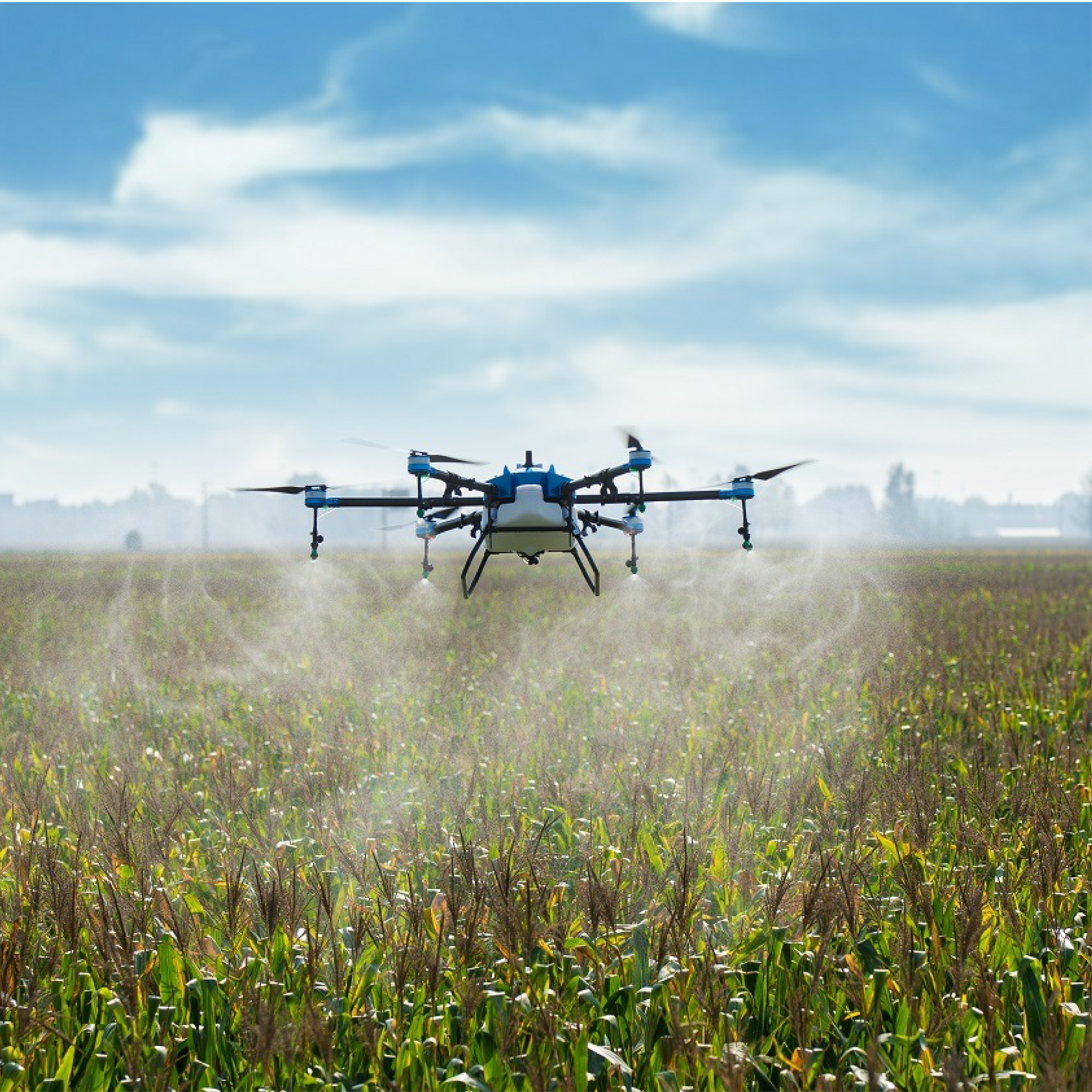
Drone In Action
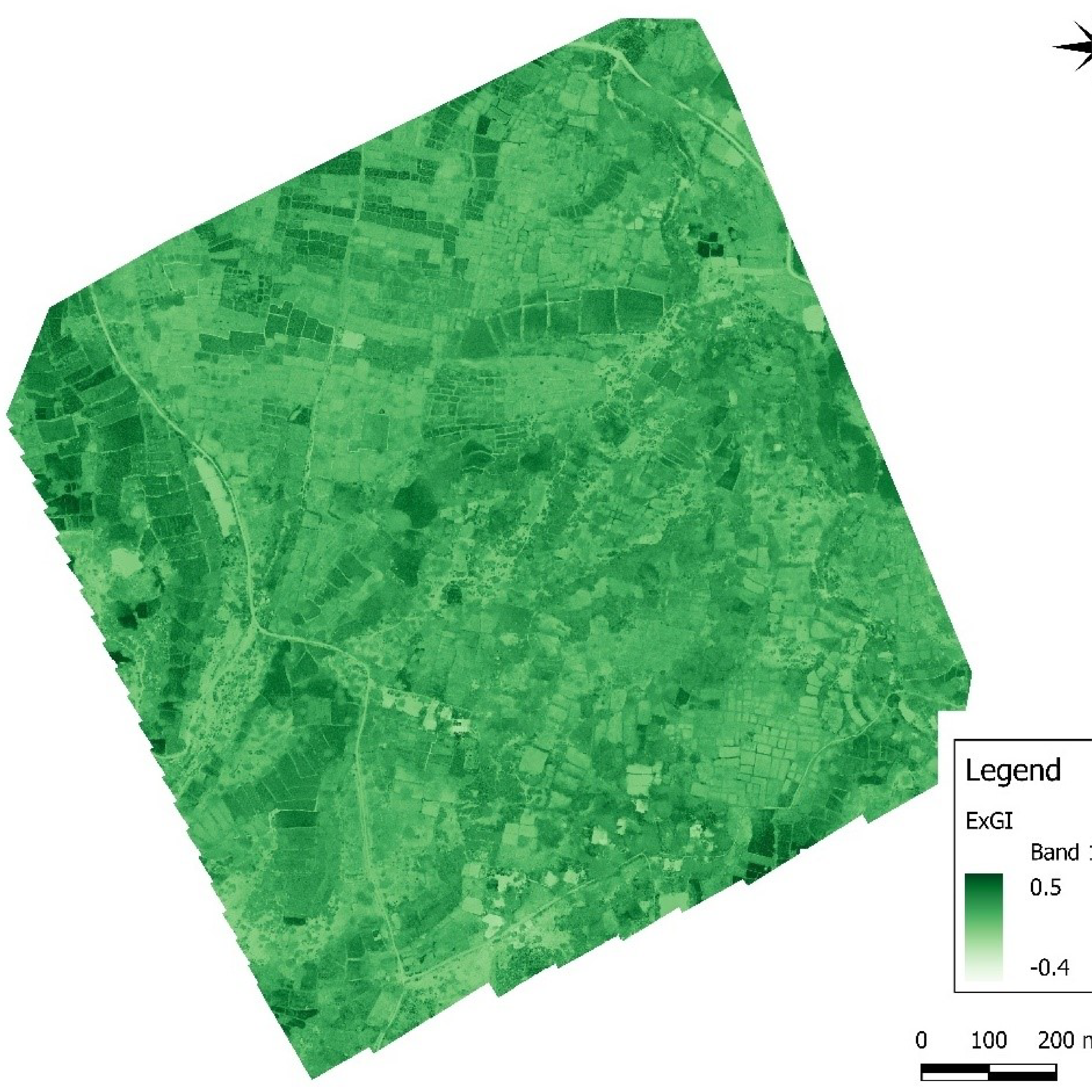
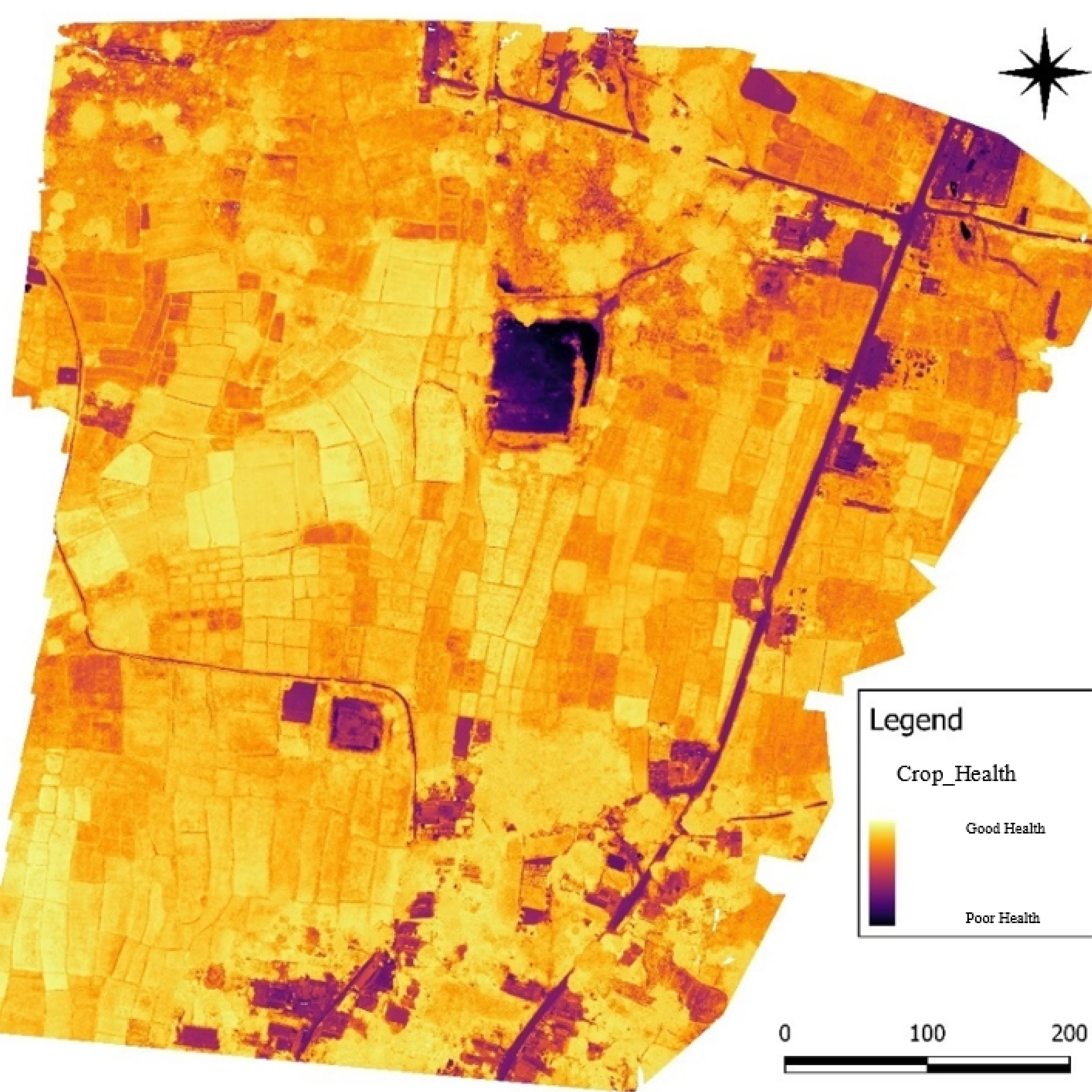
The Invisible Spectrum
Multispectral Analysis Reveal
Our Deliverables
Frequently Asked Questions
How can drone technology increase crop yield and reduce costs for farmers?
Drones enable Precision Agriculture by identifying specific areas of crop stress, nutrient deficiency, or pest infestation. Instead of treating the whole field, farmers can apply chemicals only where needed (Variable Rate Application). This reduces pesticide/fertilizer costs by up to 30-40% and improves overall yield quality.
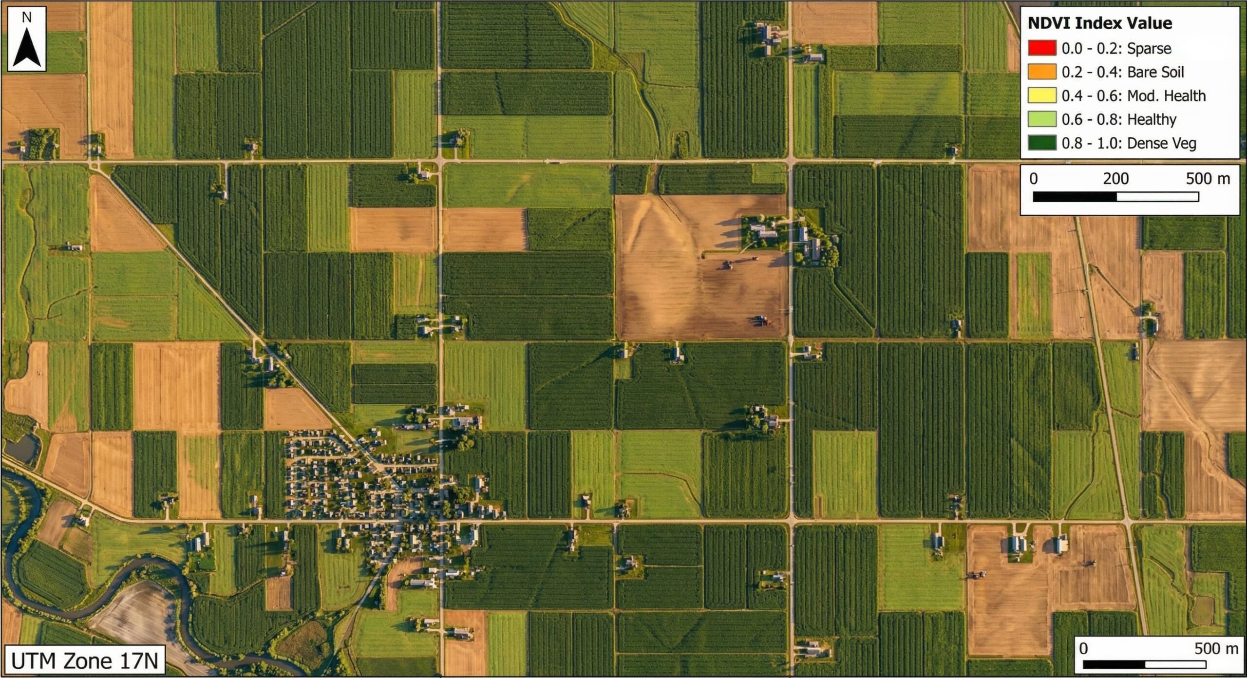
What is NDVI mapping and why is it important for crop health?
NDVI (Normalized Difference Vegetation Index) mapping uses multispectral sensors to measure plant health based on light reflection. It can detect "invisible" crop stress caused by water shortage or diseases up to 10 days before it becomes visible to the human eye, allowing for early intervention.
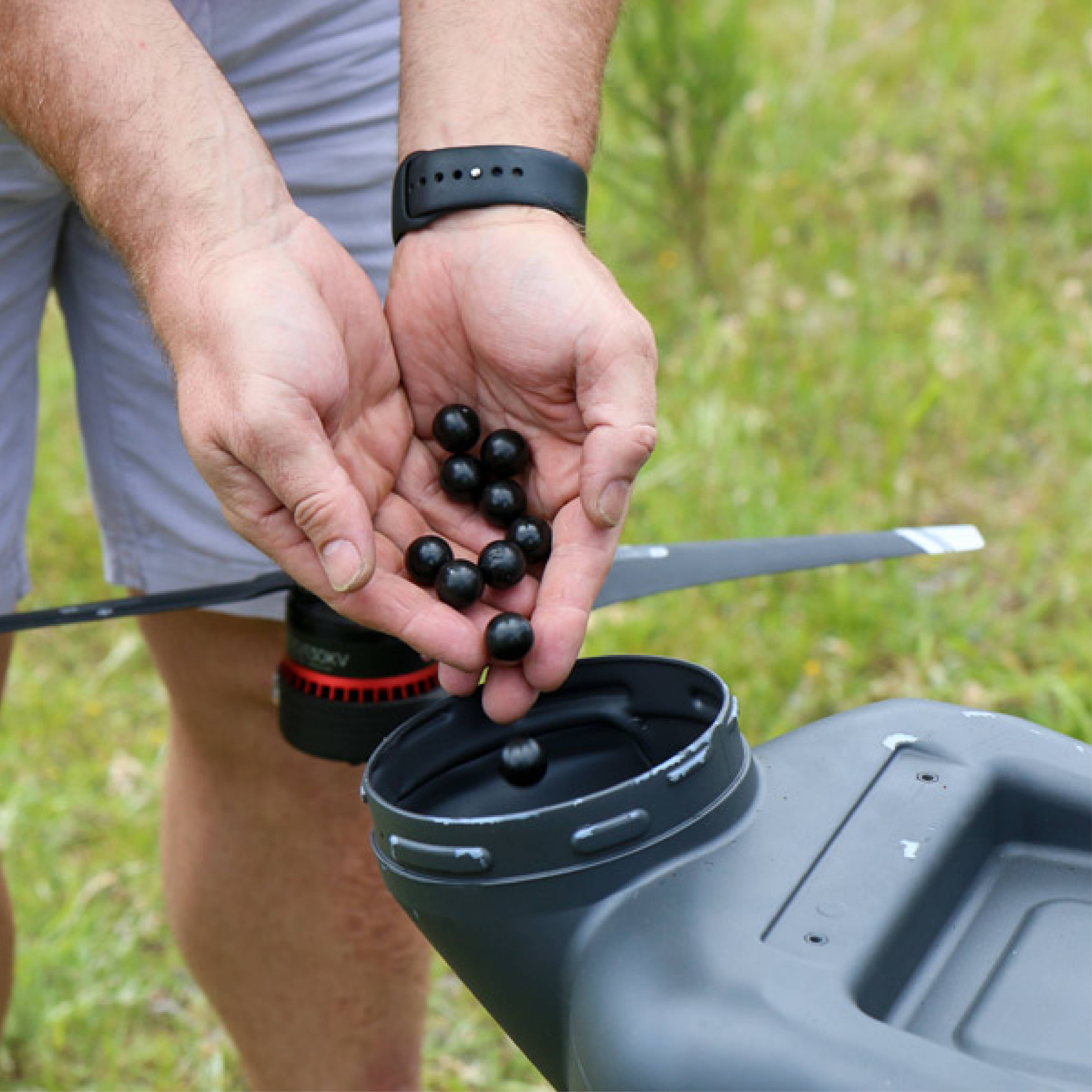
Is drone-based pesticide spraying better than manual methods?
Absolutely. Drone spraying is 10x faster than manual labor, covering 1 acre in about 7-10 minutes. It provides uniform coverage, uses 90% less water, and most importantly, protects farmers from direct exposure to harmful chemicals.
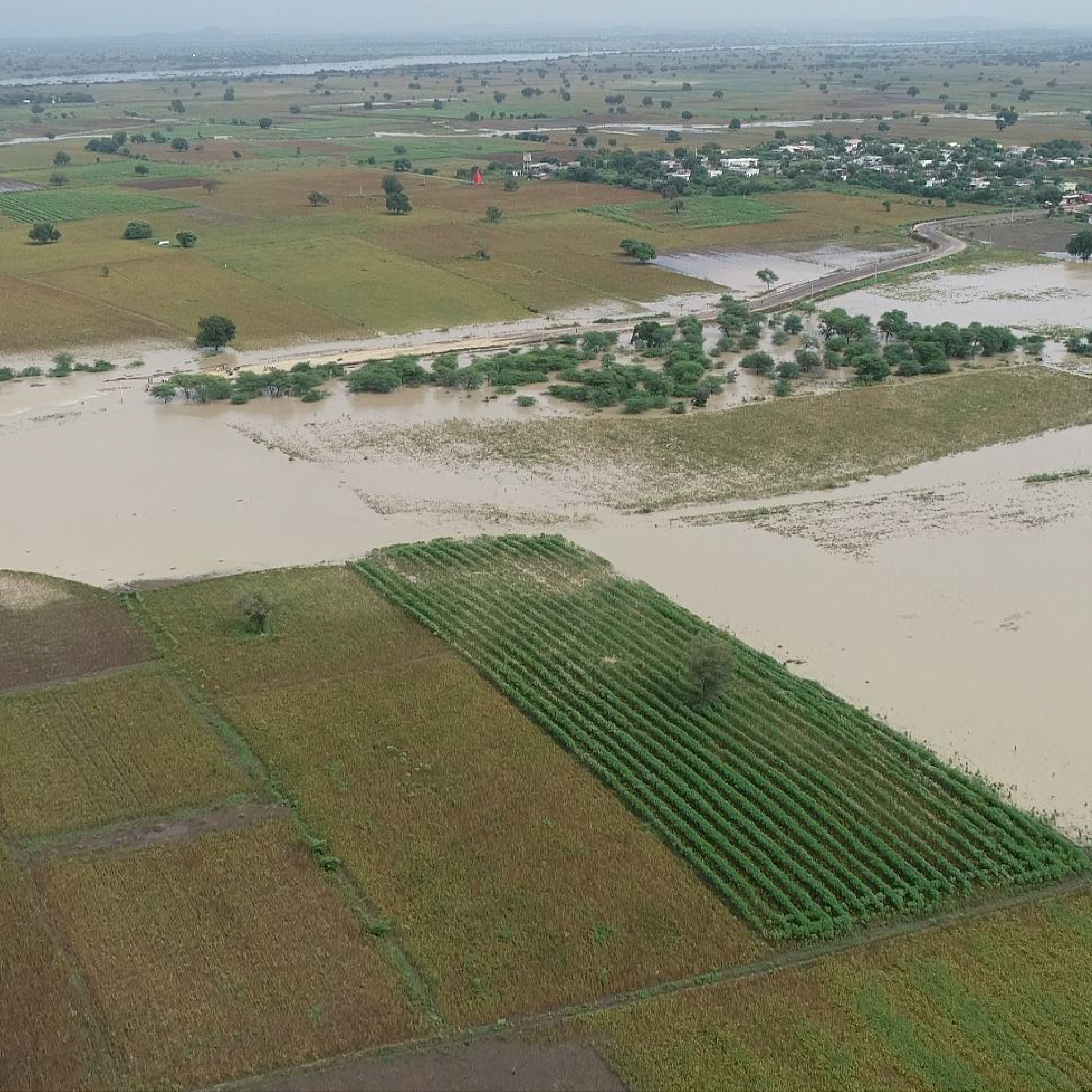
How do drones assist in agricultural insurance and damage assessment?
In cases of floods, droughts, or pest attacks, drones provide high-resolution, unbiased visual proof of the affected area. This data is used by insurance companies and government bodies for fast-track claim settlements and accurate loss estimation with survey-grade precision.
Can Droid Survair help in plantation counting and irrigation planning?
Yes, we use AI-based algorithms for Automated Plant Counting and height analysis, which is essential for orchards and forestry. Additionally, our 3D Terrain Models (DTM) help in designing efficient drainage systems and leveling land for optimal water distribution.
Optimize Your Harvest with Data
Leverage precision technology to maximize efficiency.
Consult Agri-Tech Team