Railways & Metros
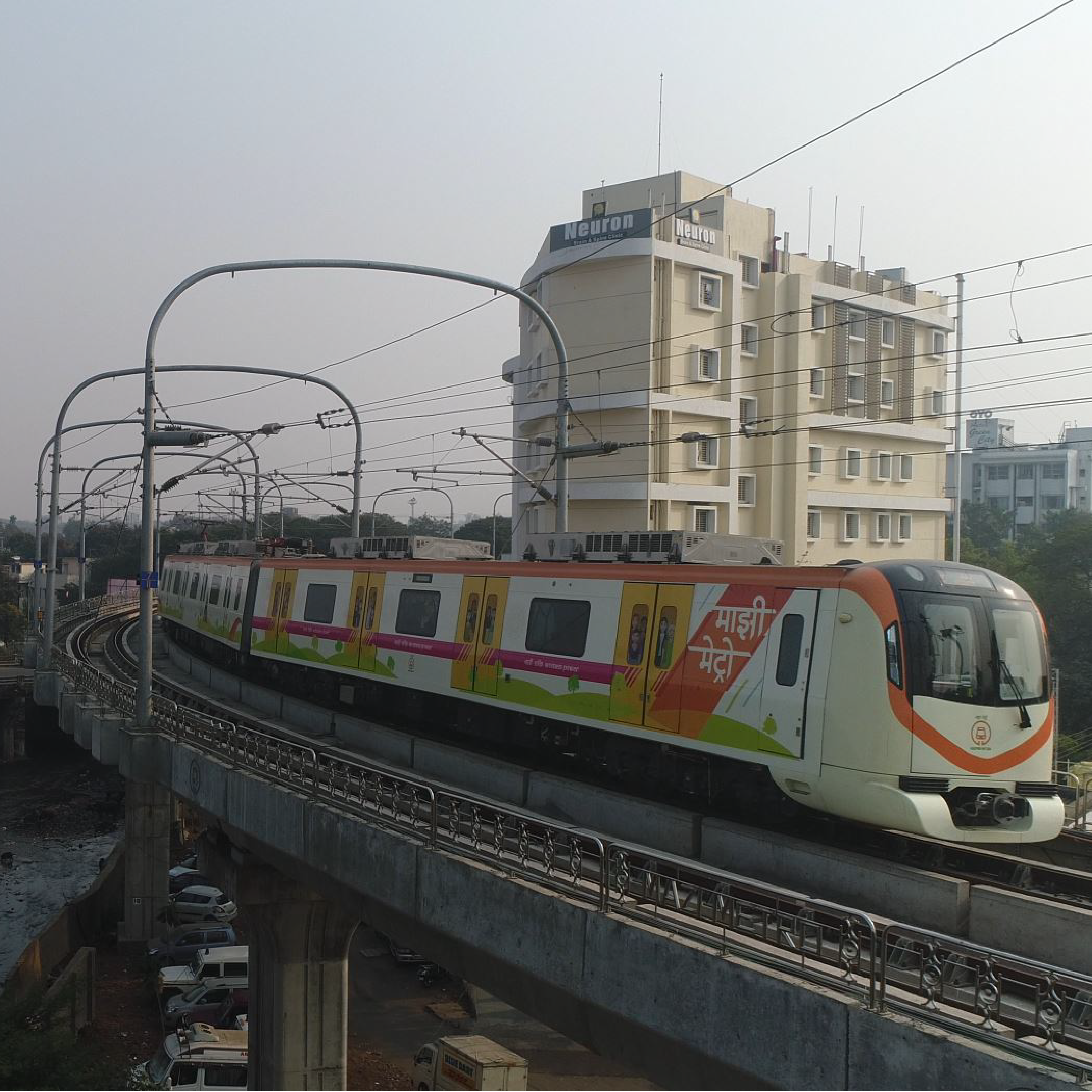
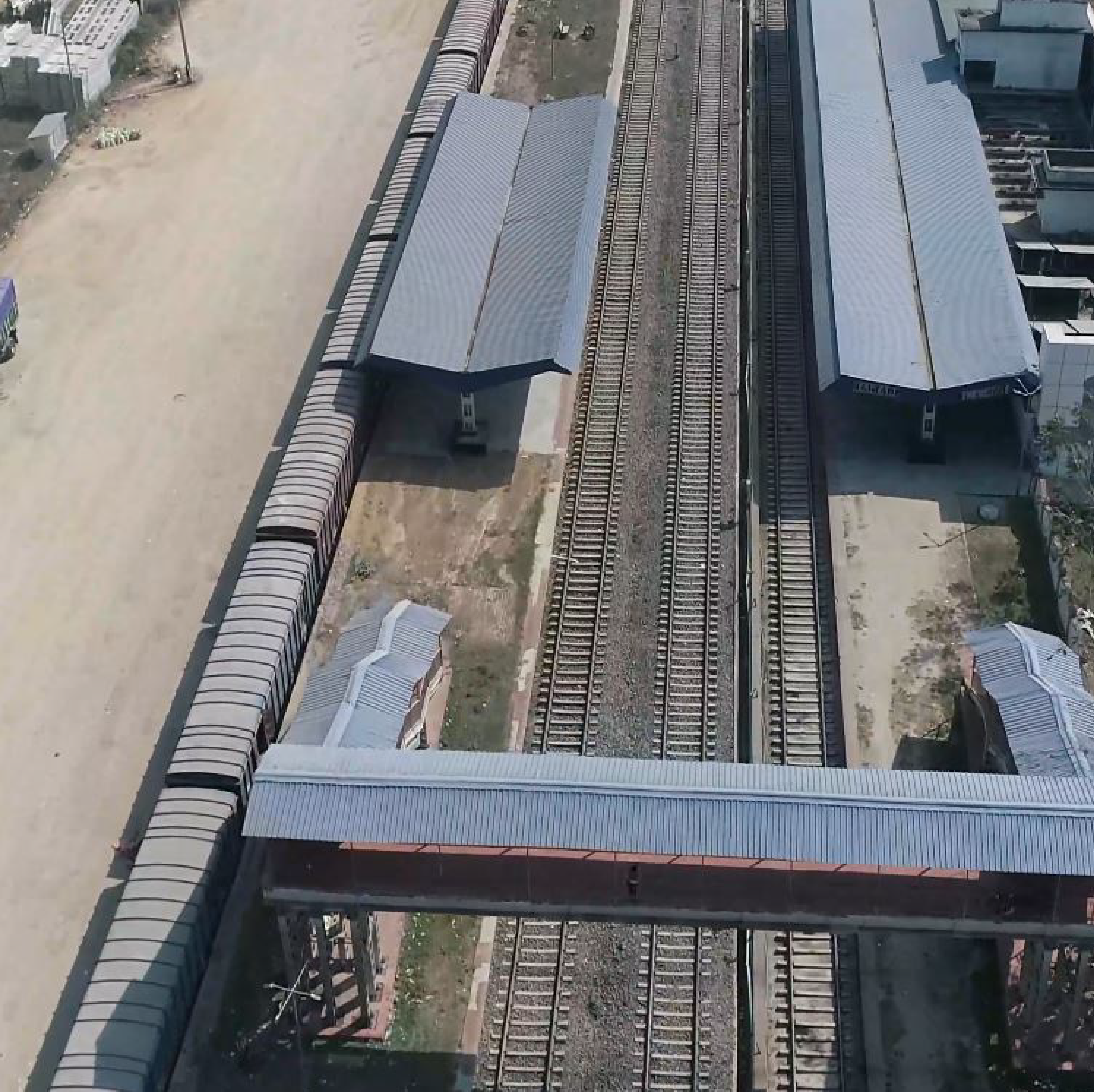
The uses of UAV in railways incorporate planning shape guides of the area where new rail lines are proposed, 3D models of stations for perception and 3D models of the landscape to draw exact plans. GIS planned information can be utilized to compute the length of track laid and make 3D models to assist with projecting directors map likely dangers to development. UAV can likewise be utilized for intermittent evaluation of resources, investigate hard-to-arrive at regions, for example, scaffolds and passages, screen electrical works along the length of rail line tracks as well as review them for erosion and breaks or cracks. UAV can be utilized as first responders in the event of regular disasters by rapidly surveying harms in rail line organization and giving essential bits of knowledge to crisis work force.
Deliverables

Bridge Inspection

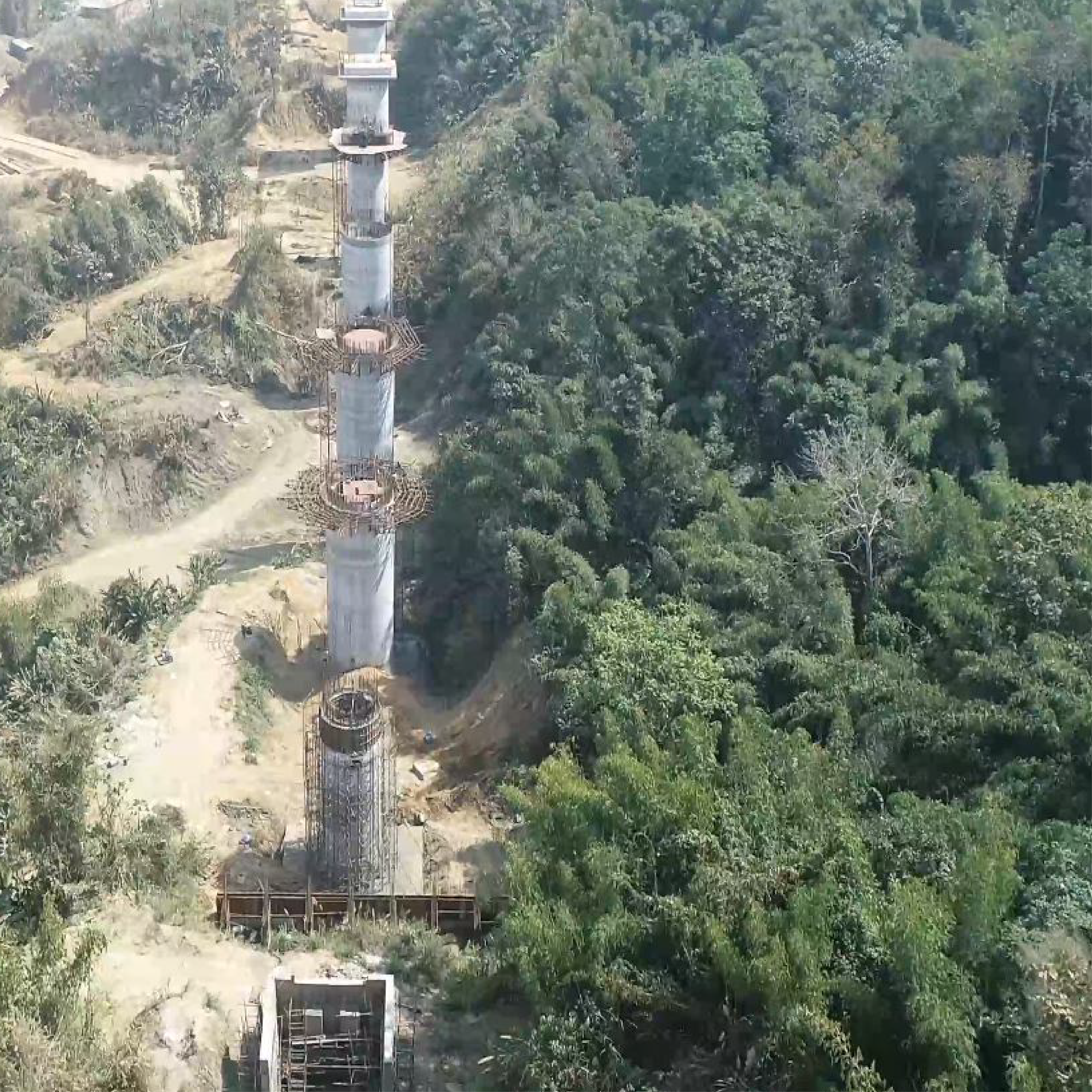
Progress Monitoring

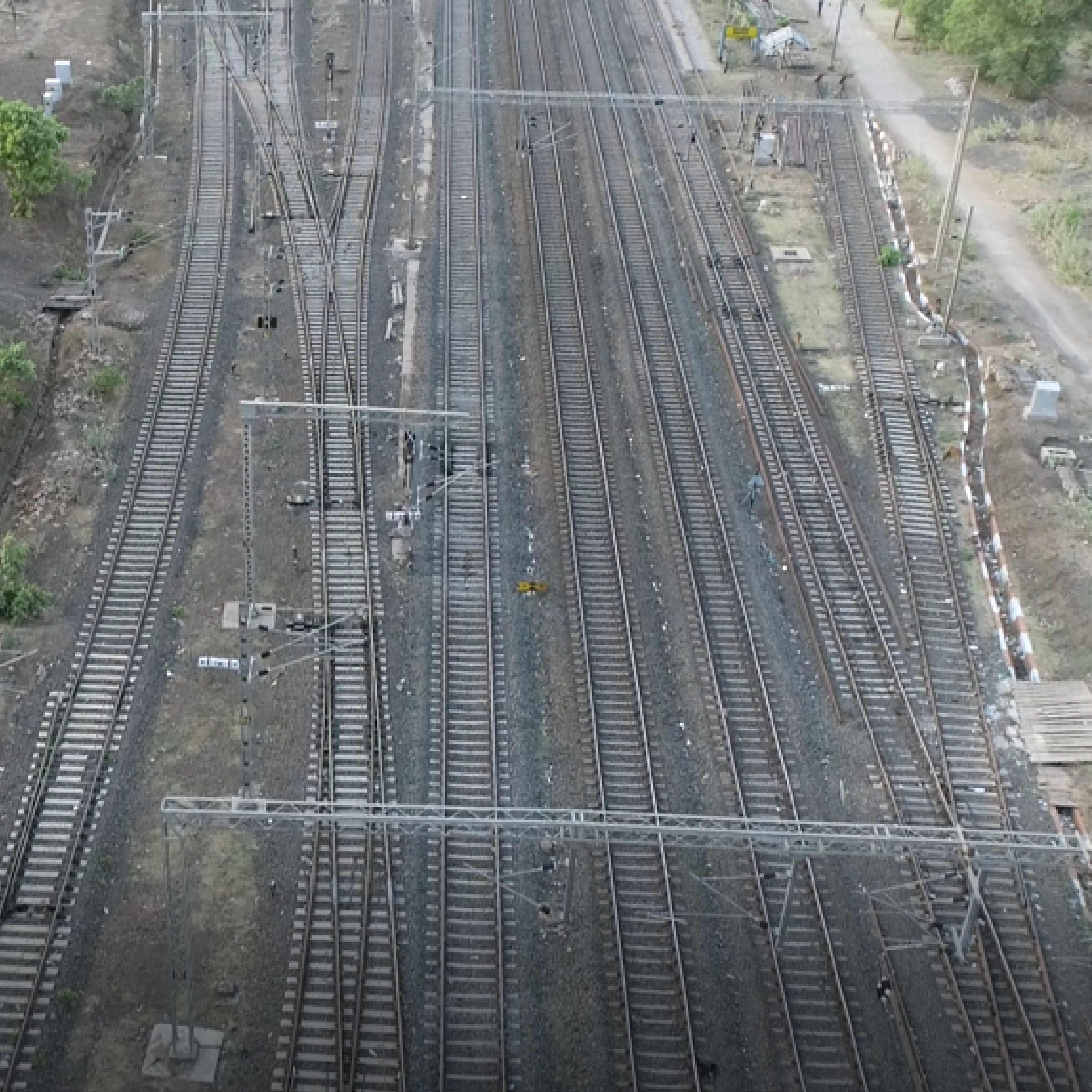
Track Inspection

